My camera kit for the John Muir Trail weighed 1,800 grams: one body, one lens, one tripod the size of a forearm. A year later, on the High Sierra Trail, I carried eleven pounds — three lenses, four filters, a real tripod. People ask which was right. I still don't know. But the JMT version fit inside a 6.5-kilo base weight, and it made 238 miles from Whitney Portal to Yosemite Valley feel like something a photographer could actually enjoy rather than survive.
The lens deserves a confession up front: a Nikkor 17–35mm f/2.8D, a zoom older than some of the hikers I met, hanging off a Z7 II through an FTZ adapter. Everyone on a forum will tell you this is the wrong setup. It was on my chest for 22 days, and every photograph in this post that isn't a phone frame came out of it.
The shape of the walk
Northbound, June 29 to July 20, 2025. Whitney Portal to Happy Isles: 238 miles by my GPS track, 21 hiking days and one zero, over every high pass the Sierra could line up — Whitney's Trail Crest first at 13,600 feet, then Forester, Glen, Pinchot, Mather, Muir, Selden, Silver, Donohue, and a self-inflicted detour over Clouds Rest at the very end.
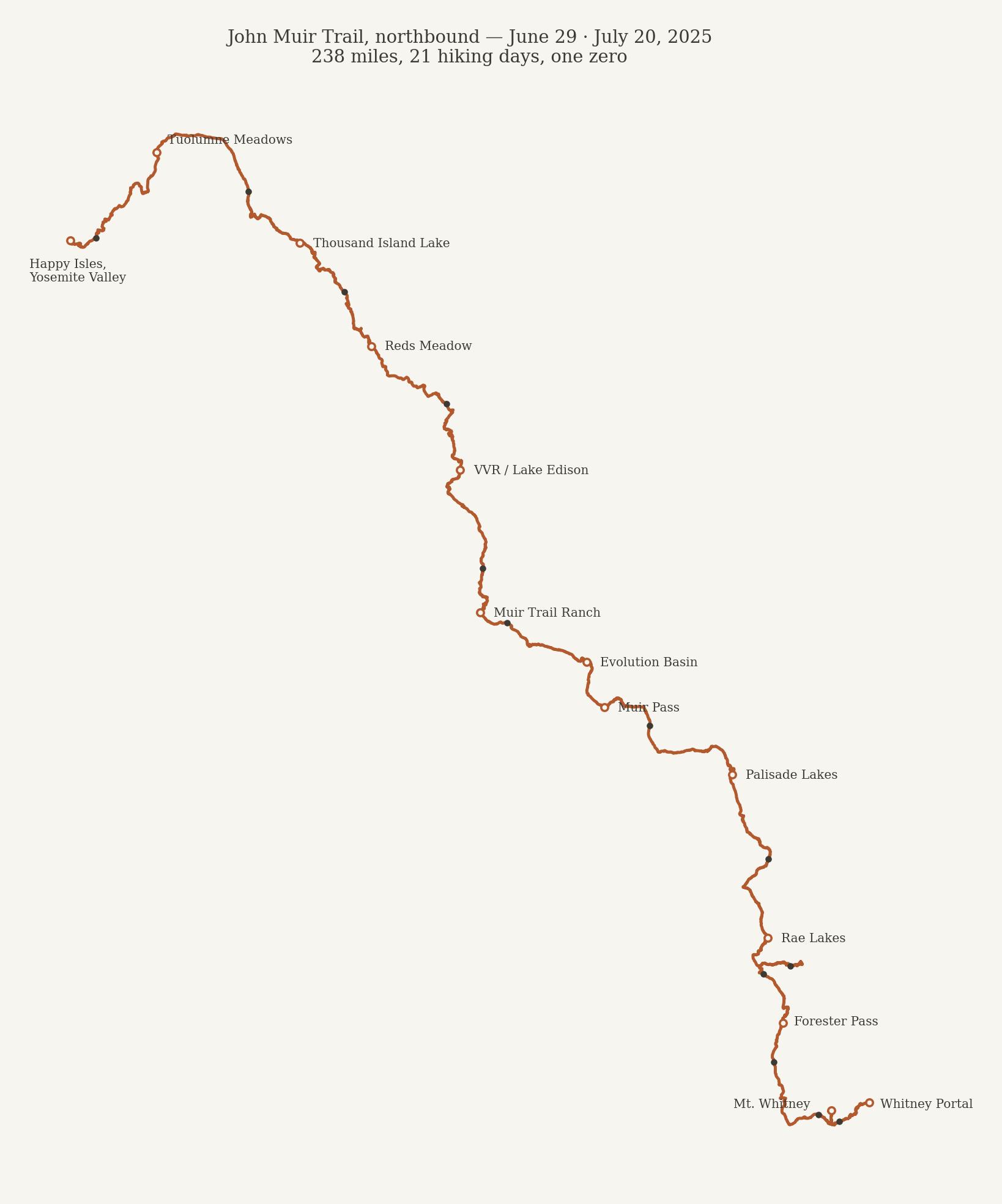
Going north means starting with the biggest mountain and the heaviest bear canister, and it means the trail keeps handing you the Sierra in the wrong order — the grandest, harshest country in the first week, the gentlest in the last. I'll argue below that for photography this order is exactly right. It's also, for what it's worth, the original direction: the trail was walked south-to-north long before "SOBO" became the default, and most people go the other way mainly because it eases you in.
The permit that almost wasn't
I have never won the Whitney lottery. Not once, any year I've entered. This trip exists because of the permit release — the morning unclaimed and cancelled Whitney Portal reservations go back online. I was up before dawn with a laptop, waiting on the minute, and got one; a few minutes later there was nothing left on the site.
Here's the part I didn't know when I clicked: a Whitney Portal overnight permit isn't just a Whitney permit. The itinerary is yours to define — and if you set your exit point to Happy Isles, that same reservation is a John Muir Trail permit, northbound, the whole thing. I'd been trying to win a day on one mountain and accidentally acquired three weeks of the Sierra. All I had to do was change the exit.
| Days | Stretch | Camps |
|---|---|---|
| 1–3 | Whitney Portal → Tyndall Creek | Trail Camp, Guitar Lake, Tyndall Creek |
| 4–6 | Forester Pass → Rae Lakes | above Vidette Meadow, Kearsarge Lakes, Rae Lakes |
| 7–11 | Pinchot, Mather, Muir Pass, Evolution | above Lake Marjorie, Palisade Lakes, LeConte Canyon, Evolution Lake, Muir Trail Ranch |
| 12–13 | Selden Pass → VVR | upper Bear Creek, Lake Edison (+ zero day) |
| 14–15 | Silver Pass → Rainbow Falls | Lake Virginia, above Rainbow Falls |
| 16–18 | Reds Meadow → Donohue Pass | Rosalie Lake, Thousand Island Lake, upper Lyell |
| 19–21 | Lyell Canyon → Happy Isles | Tuolumne Meadows, Little Yosemite Valley, out |
One lens, on purpose
| Item | Weight |
|---|---|
| Nikon Z7 II | 615 g |
| Nikkor 17–35mm f/2.8D + FTZ II | 745 g |
| AOKA CMP163C tripod | 440 g |
| Total | 1,800 g · 4 lb |
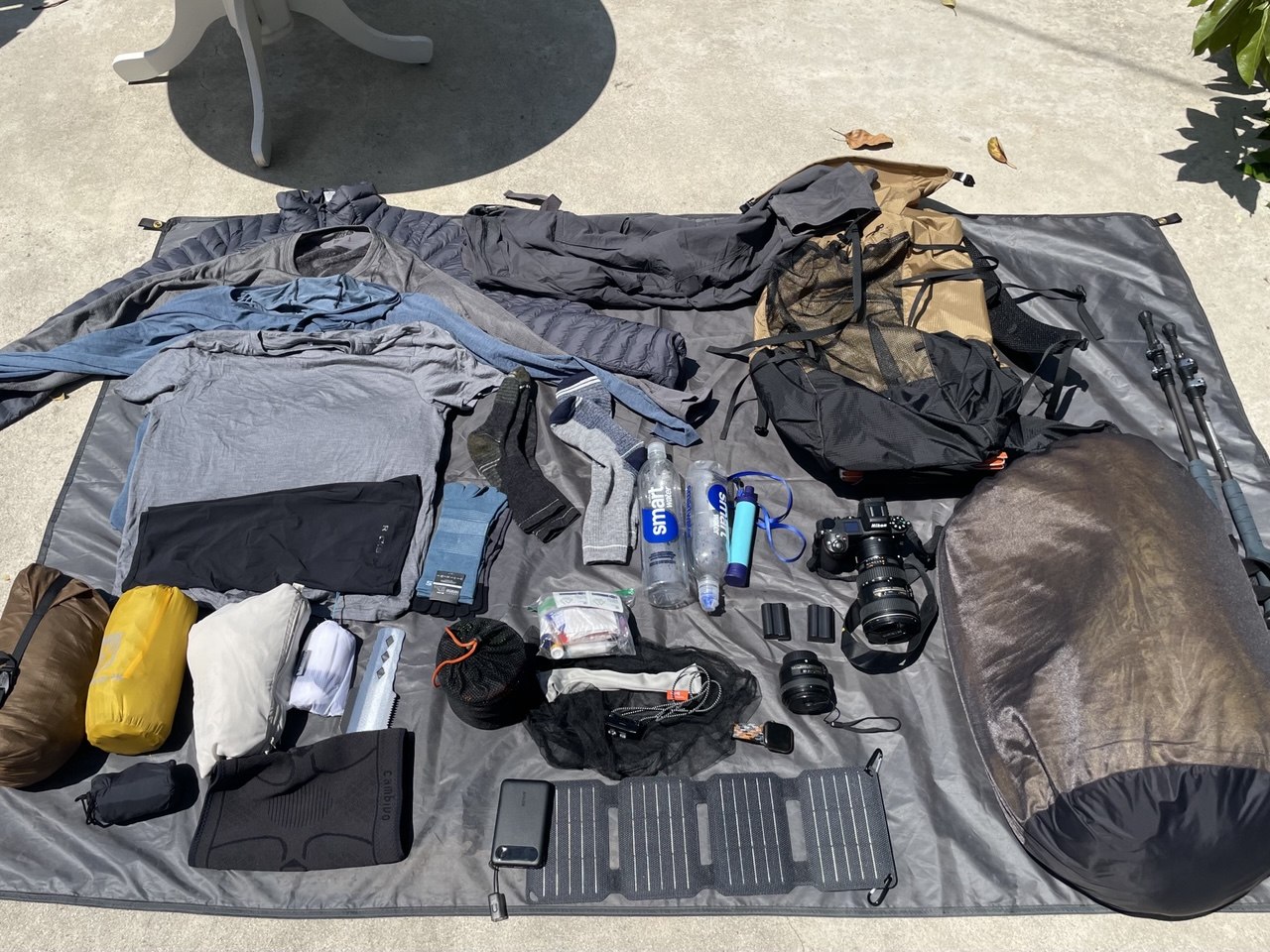
Around that: three batteries, a Hoya polarizer, ND8 and UV, a 10-watt solar panel strapped to the pack lid, an Anker 10,000 mAh bank, and a Peak Design Capture clip that kept the camera on my shoulder strap instead of inside the pack. That last item is half the reason this post has photographs in it. A camera you have to take your pack off to reach is a camera you use twice a day; a camera on your chest is a camera you use at every water break.
Weatherproofing was two plastic bags: a ziploc for the batteries and a trash bag big enough to swallow the whole kit inside the pack if a real storm came. Trash bags are the most undervalued piece of ultralight gear there is — 30 grams, and the only waterproofing that has never failed me.
The solar panel changed the trip more than any piece of glass would have. Three weeks, no power anxiety, everything charged, always — I stopped thinking about electricity entirely, which is exactly what you want your gear to do.
What the kit couldn't do, honestly: the little AOKA tops out around knee height, so every long exposure was composed from fifteen inches off the ground whether the composition wanted that or not. My darkest filter was a 3-stop ND8, which meant midday water was mostly off the table — the 6-stop ND64 I kept wishing for got bought the week I came home. And there were moments I stared at something far away — a lit ridge, a distant band of light — and had nothing to reach it with. The 24–120 I carry now exists because of those moments. Every gear list is really a list of the shots you were willing to lose; I just didn't know mine yet.
The full pack list is on LighterPack.
Days 1–3: Starting at the top — Whitney Portal to Mount Whitney
The Whitney Portal trail doesn't ease you into anything. It's the biggest single climb of the entire route — 6,000 feet to Trail Camp — carried out on day one, with the heaviest food load, past day-hikers who smell like laundry detergent.
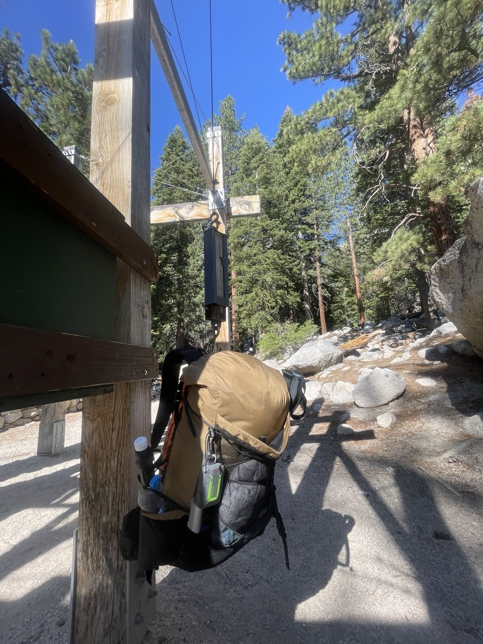
Thirty minutes in I fell in with two guys from Santa Barbara who were up for Whitney and Whitney only, and that settled the first two days: we climbed together, camped together, and summited together before the trail took us in opposite directions.
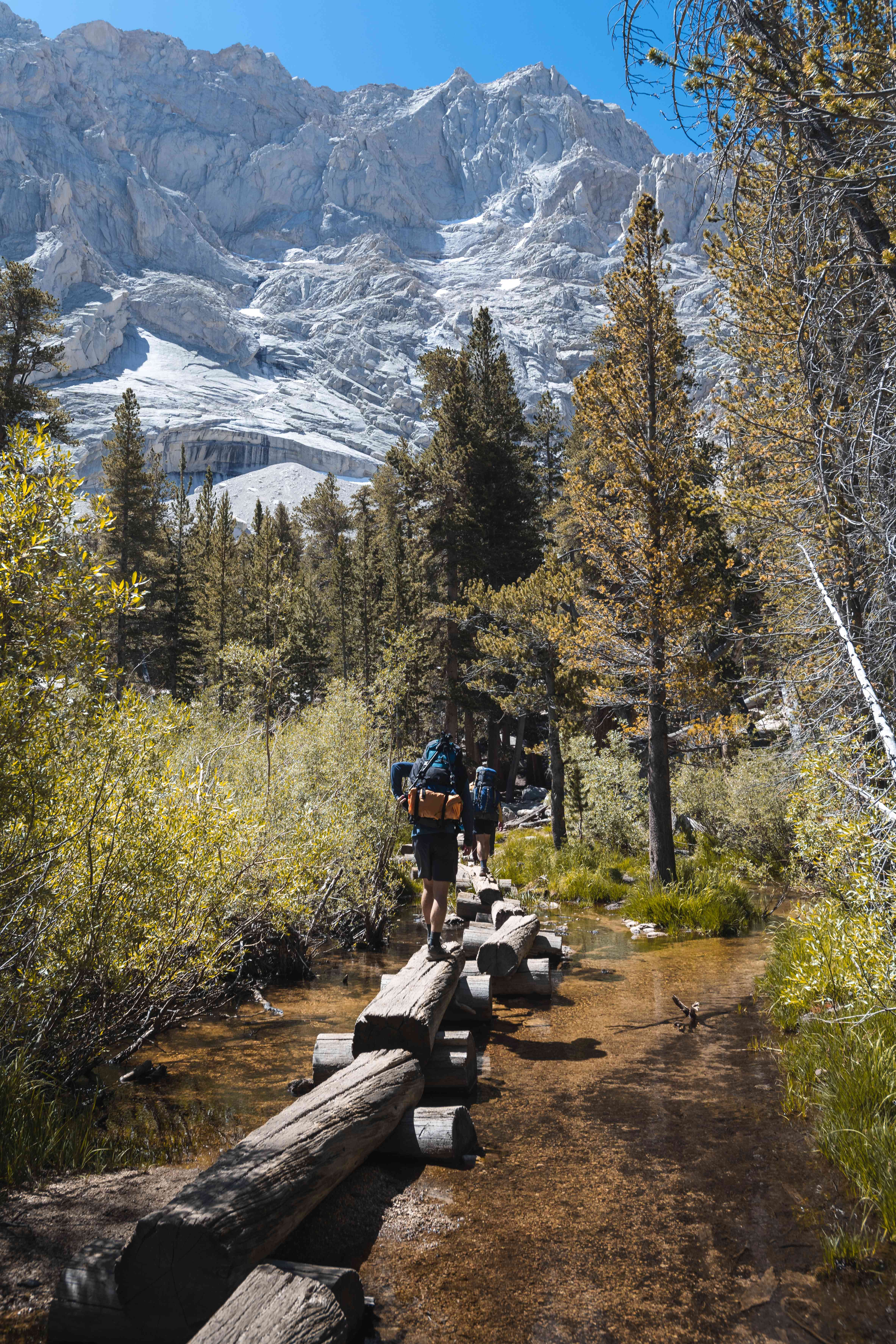
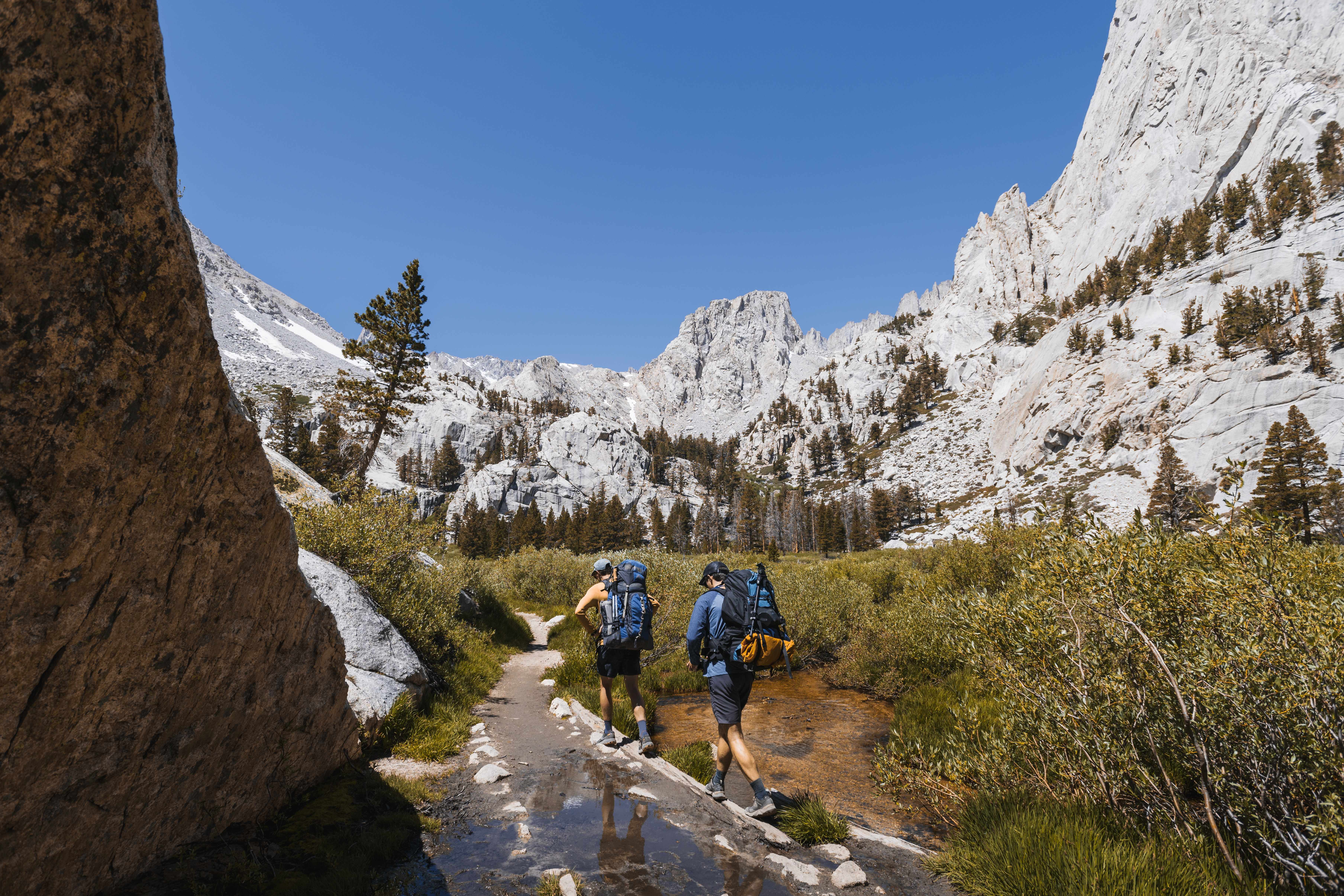
We made Trail Camp by late afternoon and took the evening slowly — at 12,000 feet, with the east face of Whitney going blue above the tents, there was nowhere better to be anyway.
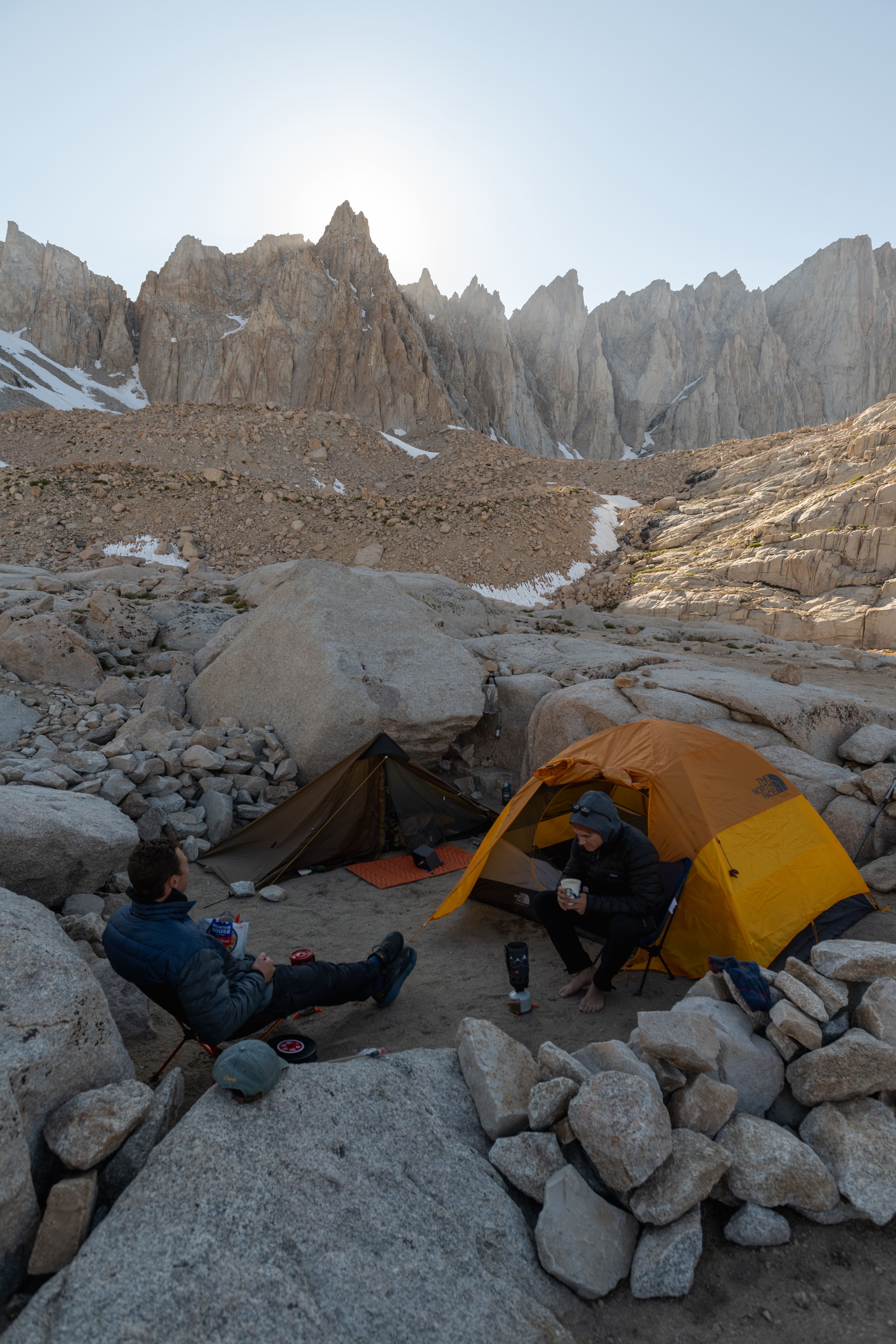
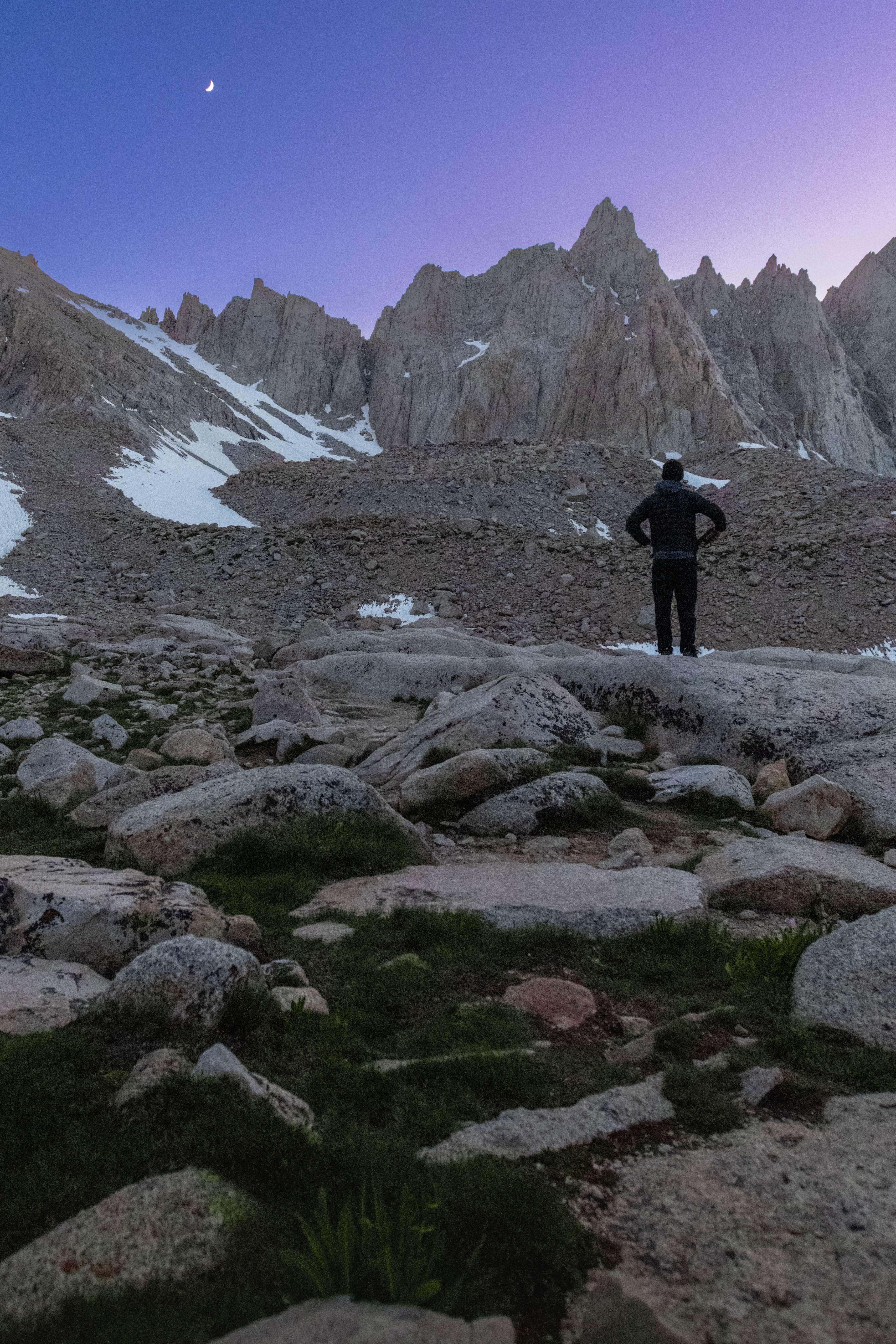
We left camp between 3:30 and 4 in the morning and were on the 99 switchbacks by five, headlamps off, the range lighting up behind us. This is the whole argument for climbing Whitney from Trail Camp instead of day-hiking it: when the light happens, you're at 13,000 feet, not in the car.
One of the Santa Barbara guys was fighting real altitude sickness by then — sick again and again on the switchbacks, stopping, breathing, continuing. He topped out anyway, carefully, and got himself down fine. I think about him whenever someone calls Whitney a walk-up.
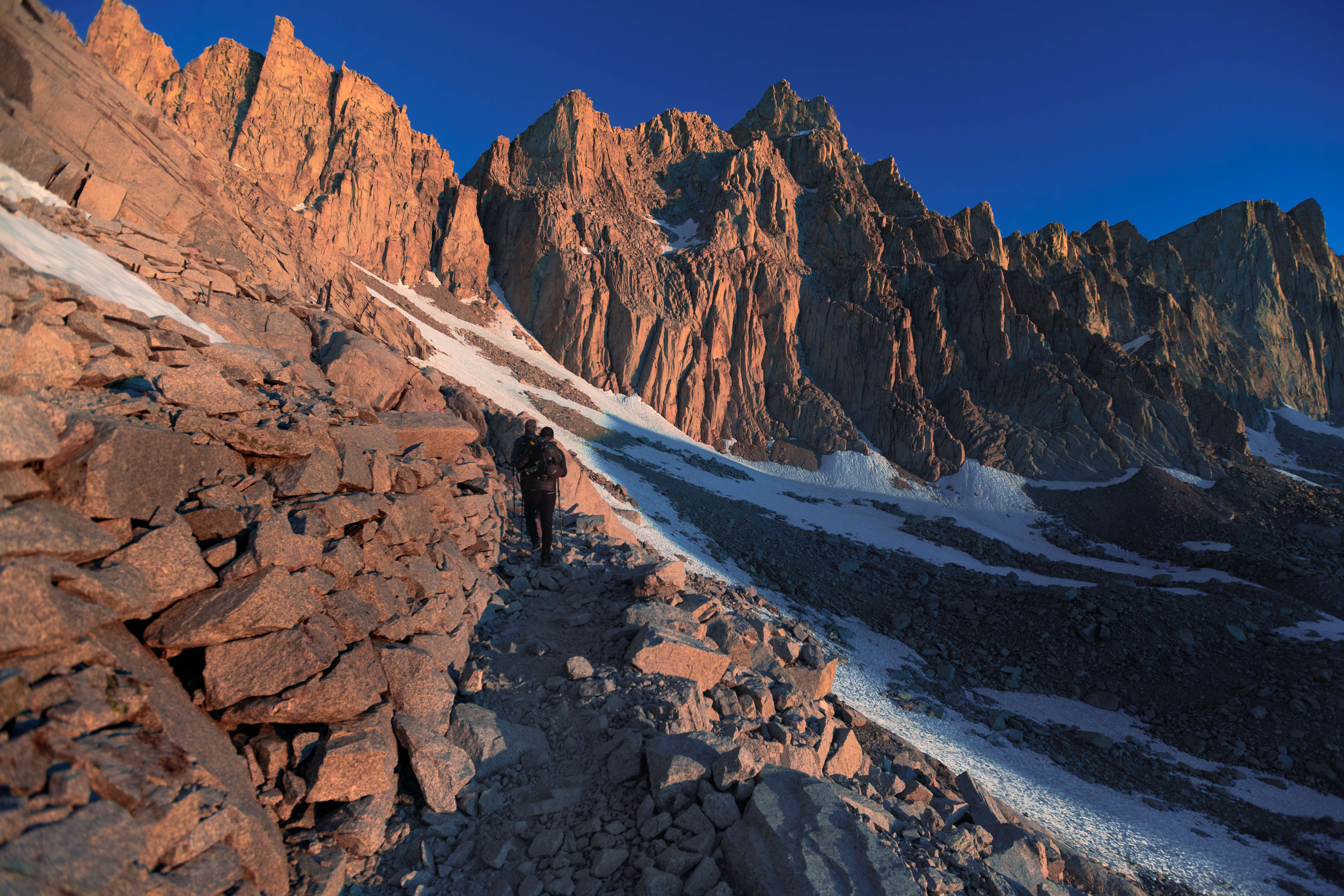
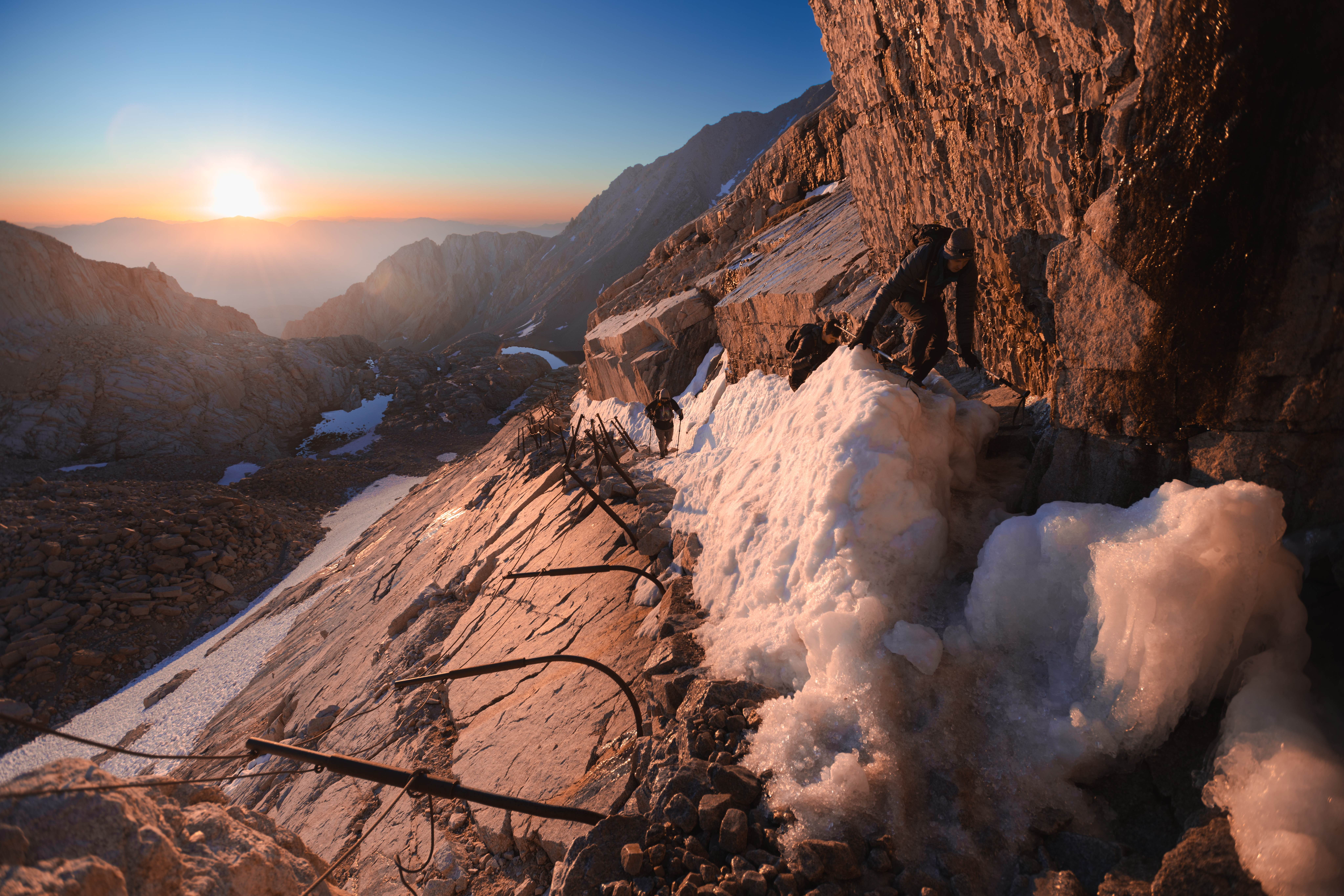
The part of the morning I'd do differently with hindsight is the cables. In early July they were buried under a leftover snowbank — and the snowbank was melting, with water running over it and refreezing, so the whole passage was glazed. I went first, deliberately: partly to get it over with, mostly so I could turn around and photograph the two of them coming through. My own crossing was closer to a crawl.
I left my bear canister at Trail Crest with the pile of others, and we walked the last two miles to the summit hut — the highest point of the contiguous United States, on day two of a 22-day walk. Which produces a very specific feeling, because everyone around you has finished something, and you have 220 miles left. Standing there, I started calling the summit my mile zero. The John Muir Trail doesn't really begin at Whitney Portal — it begins the moment you turn your back on the highest point and all of it is still ahead.
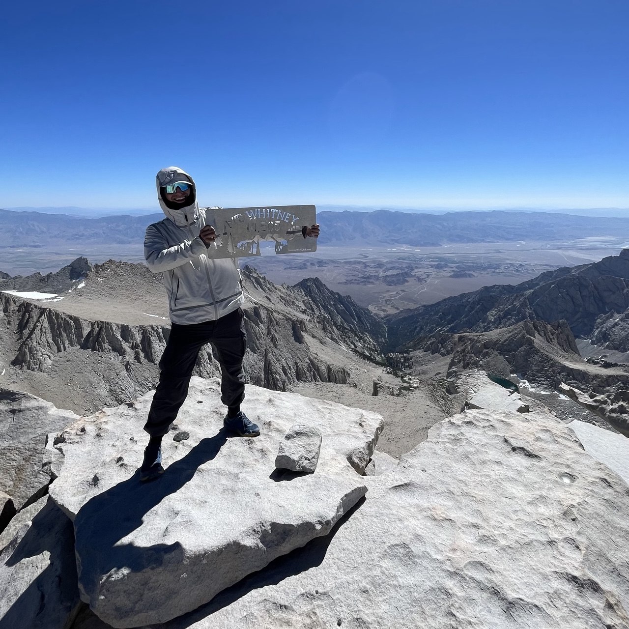
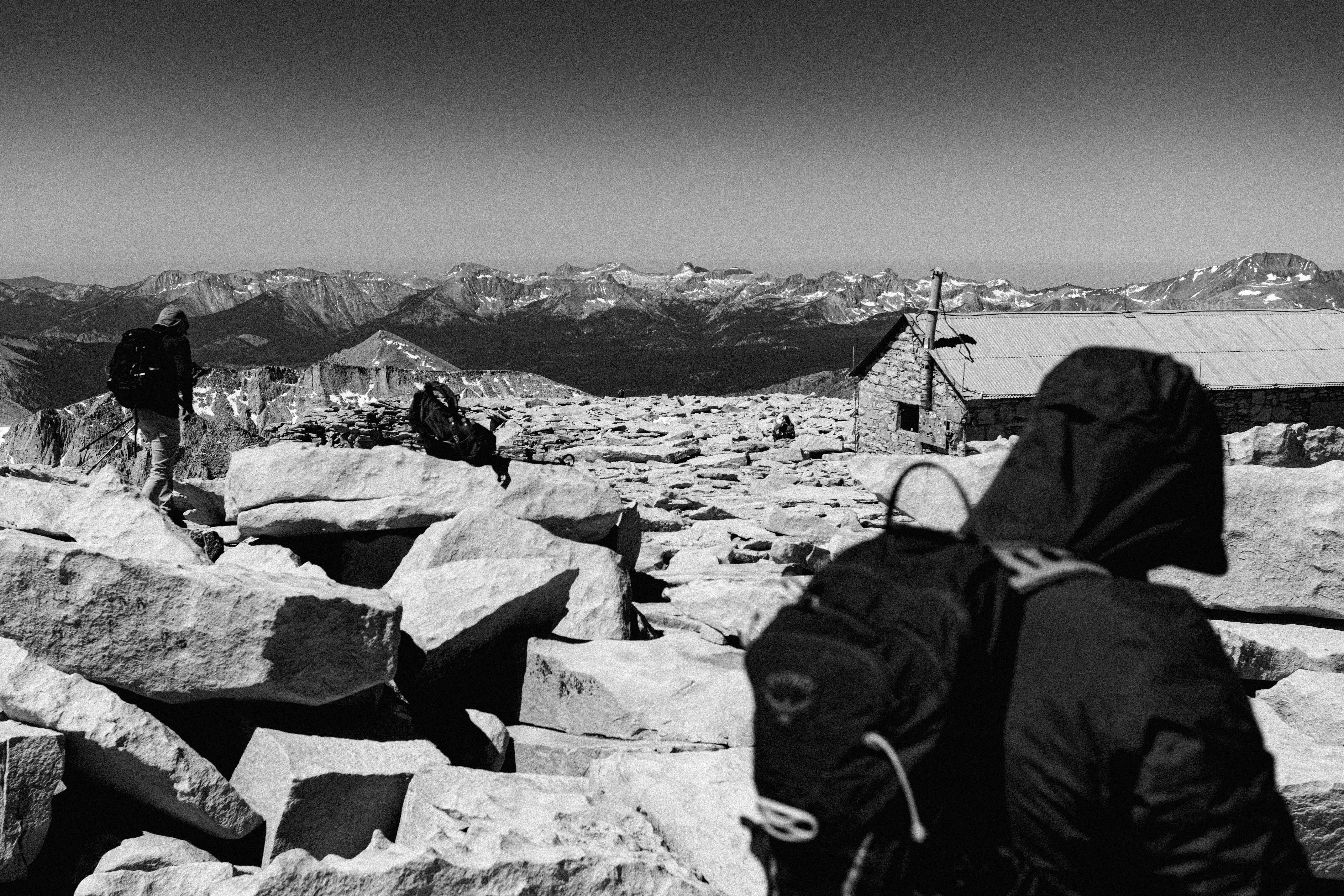
Back at Trail Crest the goodbyes got unexpectedly warm — one of them blessed me for the road, the kind of gesture that would be strange anywhere but 13,600 feet. Then they turned east toward the Portal, and I picked up my canister and walked west, downhill, alone, into the John Muir Trail. The descent to Guitar Lake is where the JMT actually begins — off the crowded mountain and into country where the lakes don't have parking lots attached.
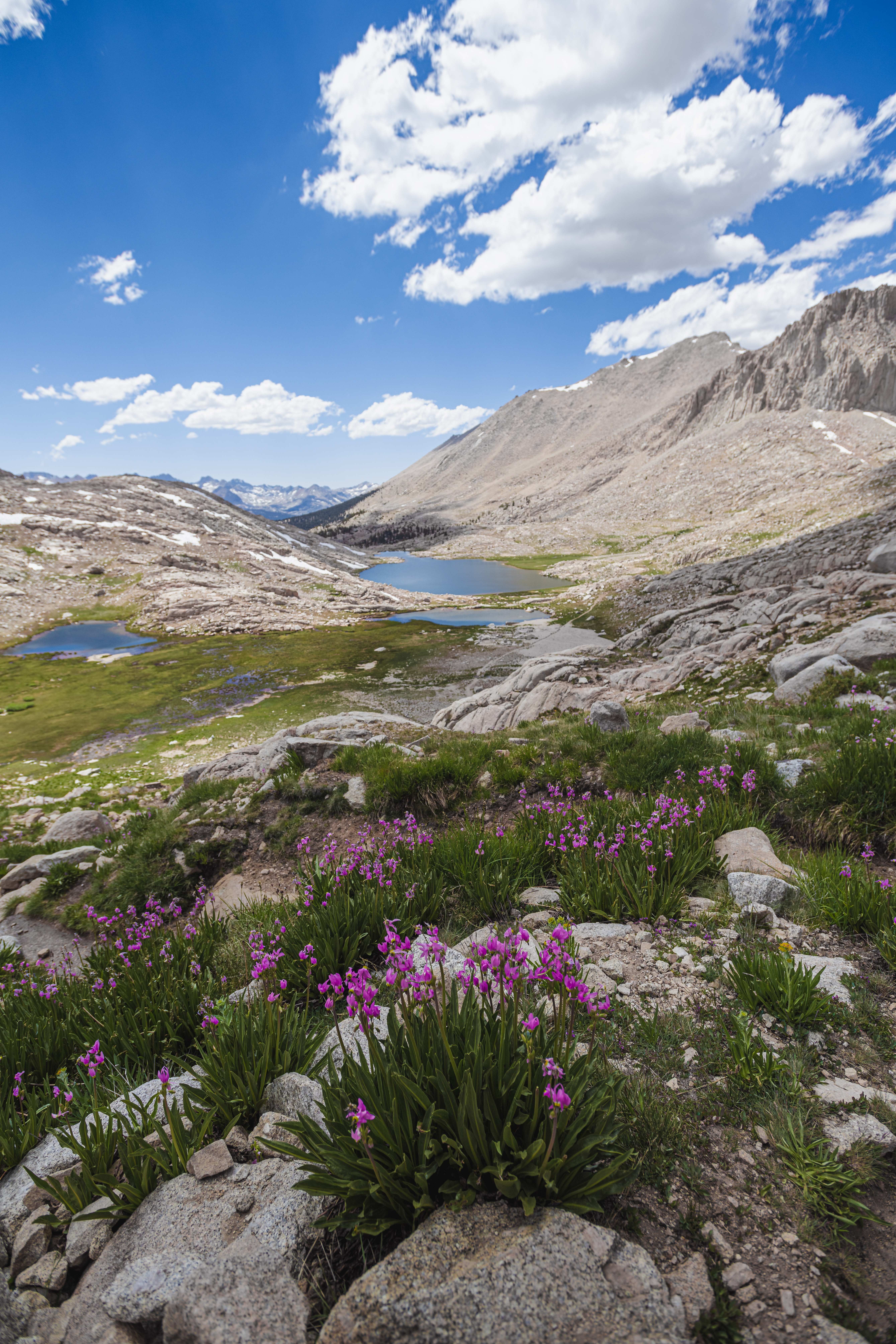
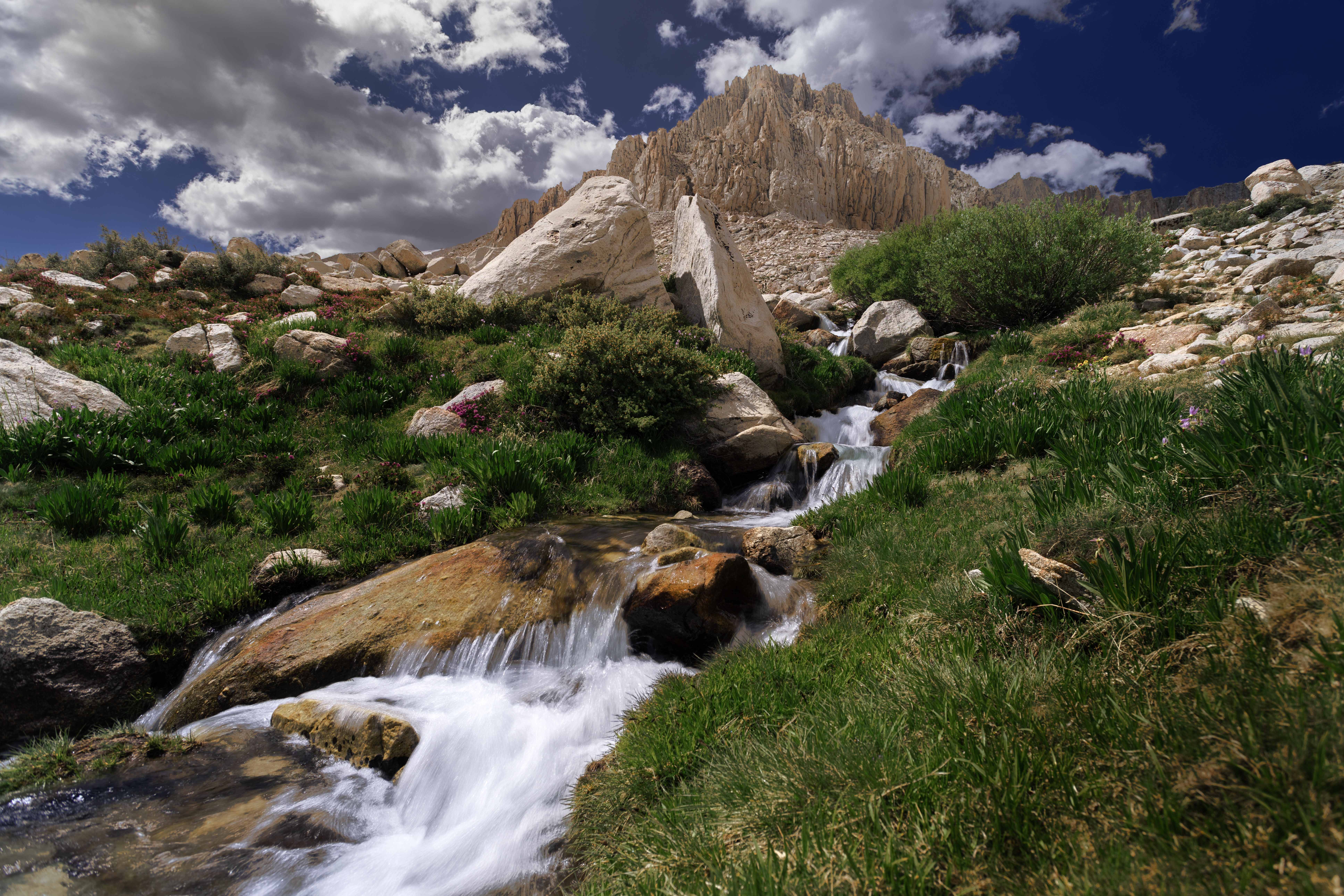
Day three was the comedown: off the Whitney massif, past Crabtree and Wallace Creek, across the strange dead-flat tundra of the Bighorn Plateau, to a camp at Tyndall Creek. Most of the day went unphotographed, and I want to be honest about that, because every thru-hike write-up implies the Sierra hands you a masterpiece hourly. Some days you just walk. The photographs, when they came, came at camp.
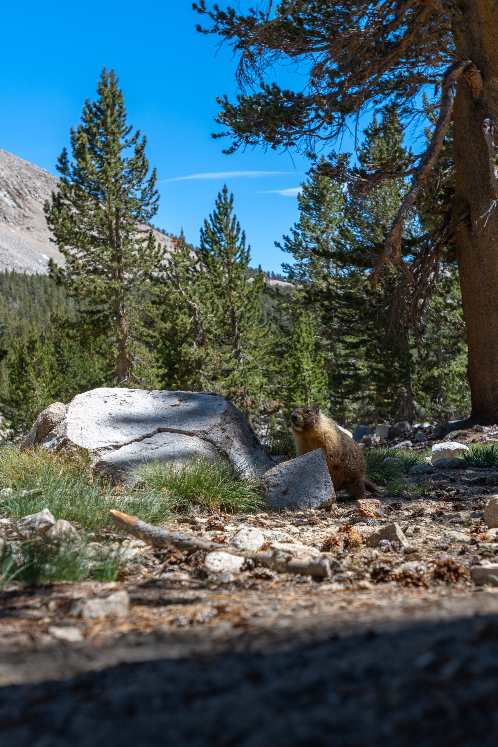
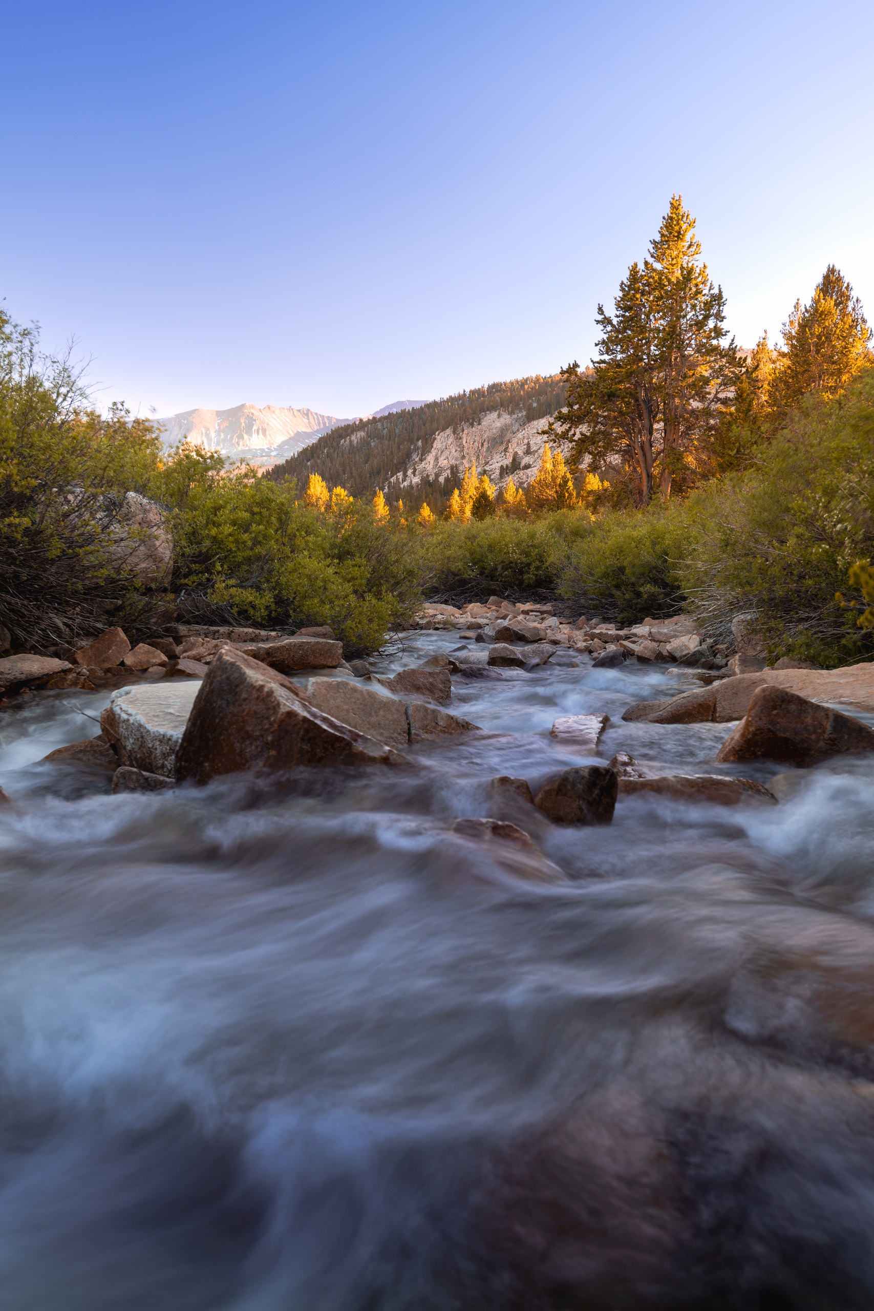
Tyndall Creek also delivered the trail's recurring characters: a group of PCT hikers whose orbit would keep intersecting mine all the way to Yosemite. Half the thru-hikers you meet out here run the trail like a race — miles logged, calories optimized, sleep an inconvenience. This group carried weed and vapes and could not have been less interested in anyone's split times. In the truest spirit of ultralight, they had a titanium bong. I've never walked the PCT, but I left that camp with real appreciation for how many entirely different journeys fit on the same line of dirt. And it wasn't the last I'd see of them.
Days 4–6: Forester Pass, the frozen tent, and the Kearsarge resupply
Day four was Forester Pass — 13,120 feet, the highest point on the Pacific Crest Trail — and I walked at it with one eye on the sky. Clouds had been assembling since first light, and the only plan that mattered was to be off the pass and descending before noon.
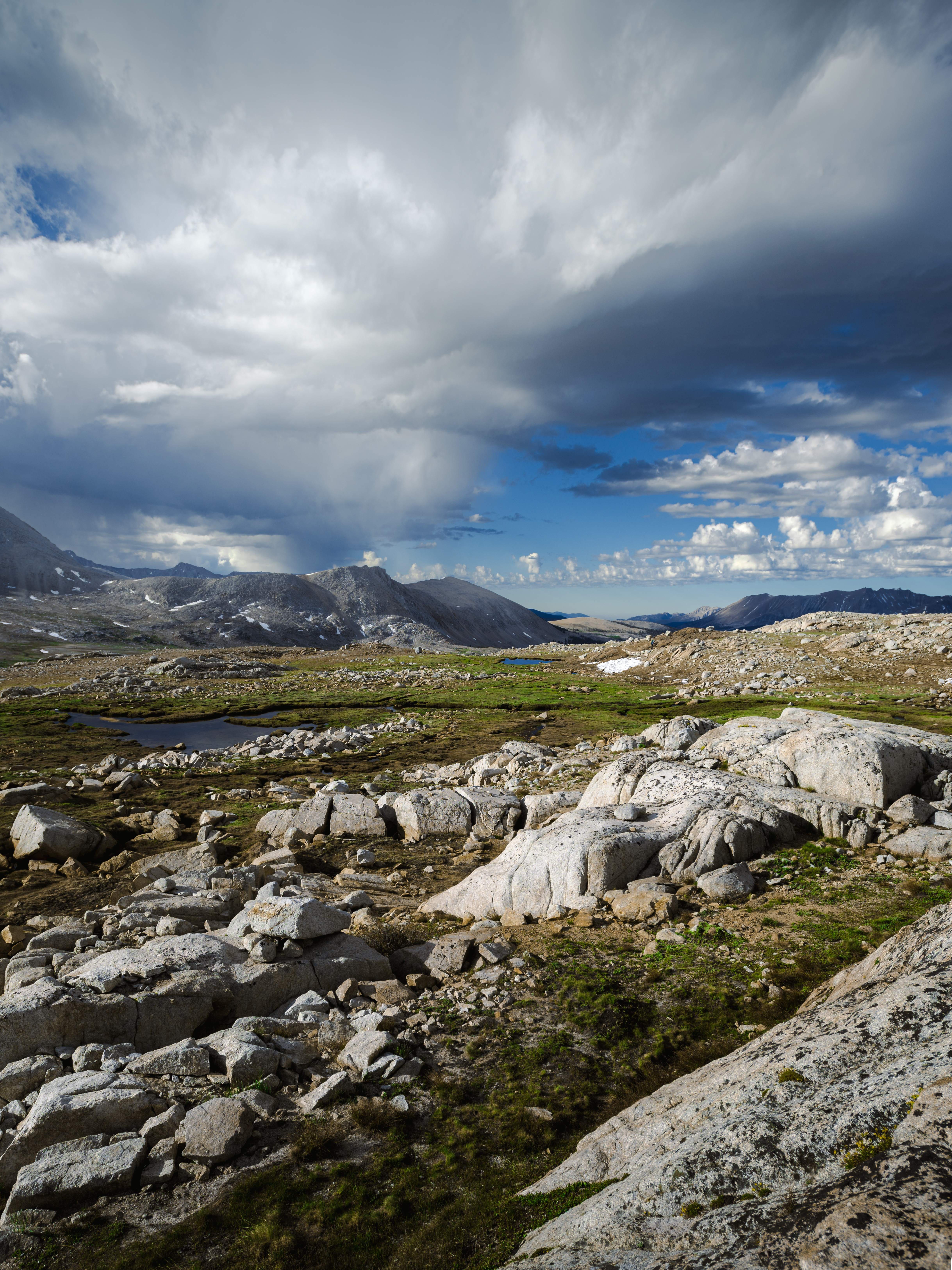
I made it, technically. What the plan hadn't accounted for was the north side: buried in old snow, no visible trail, and steep enough that parts of the descent happened on my feet and the rest happened, frankly, on my ass. Sliding into Kings Canyon with thunderheads filling in behind me — Forester turned out to be my favorite pass of the entire trail, and it wasn't close.
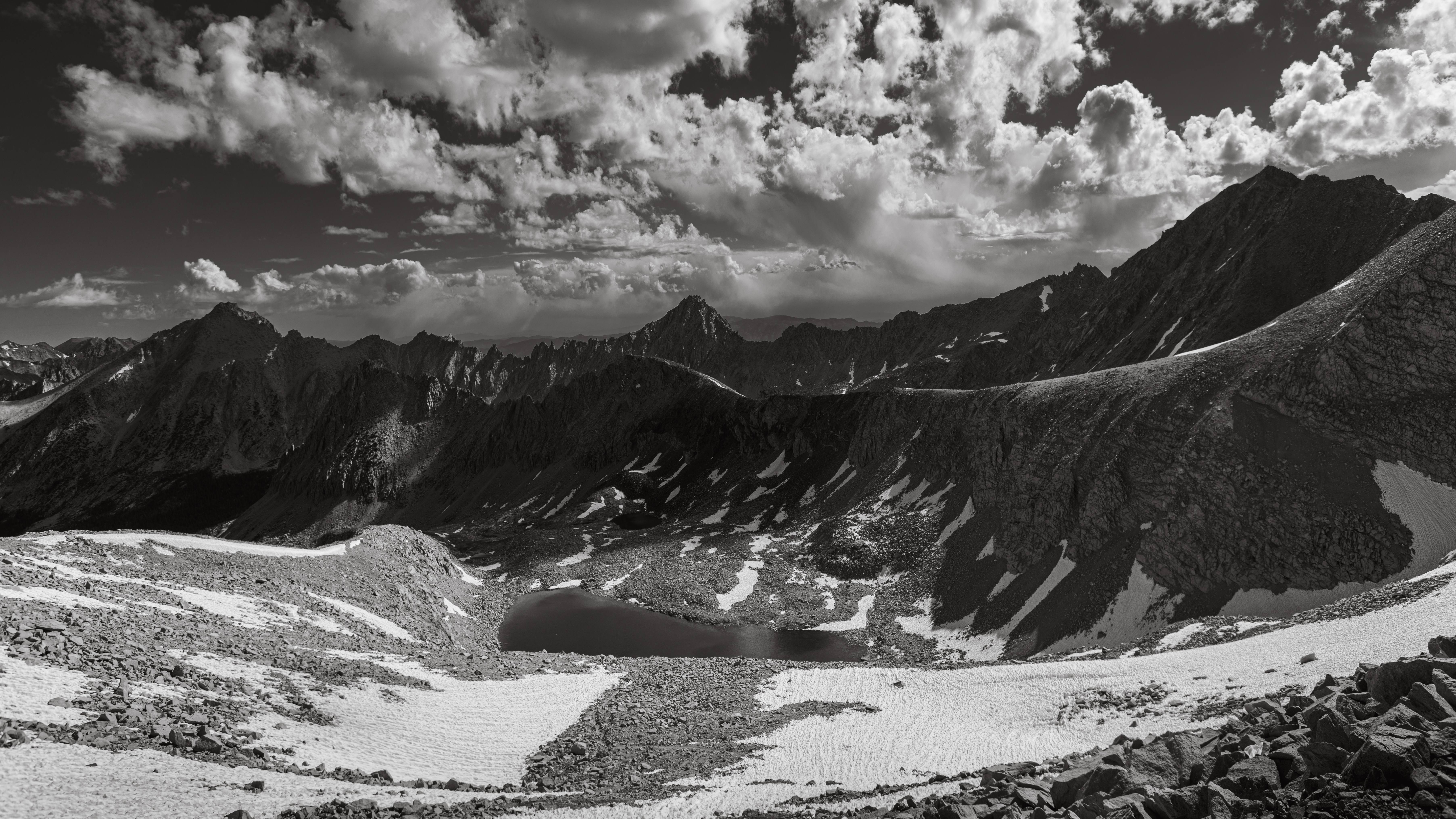
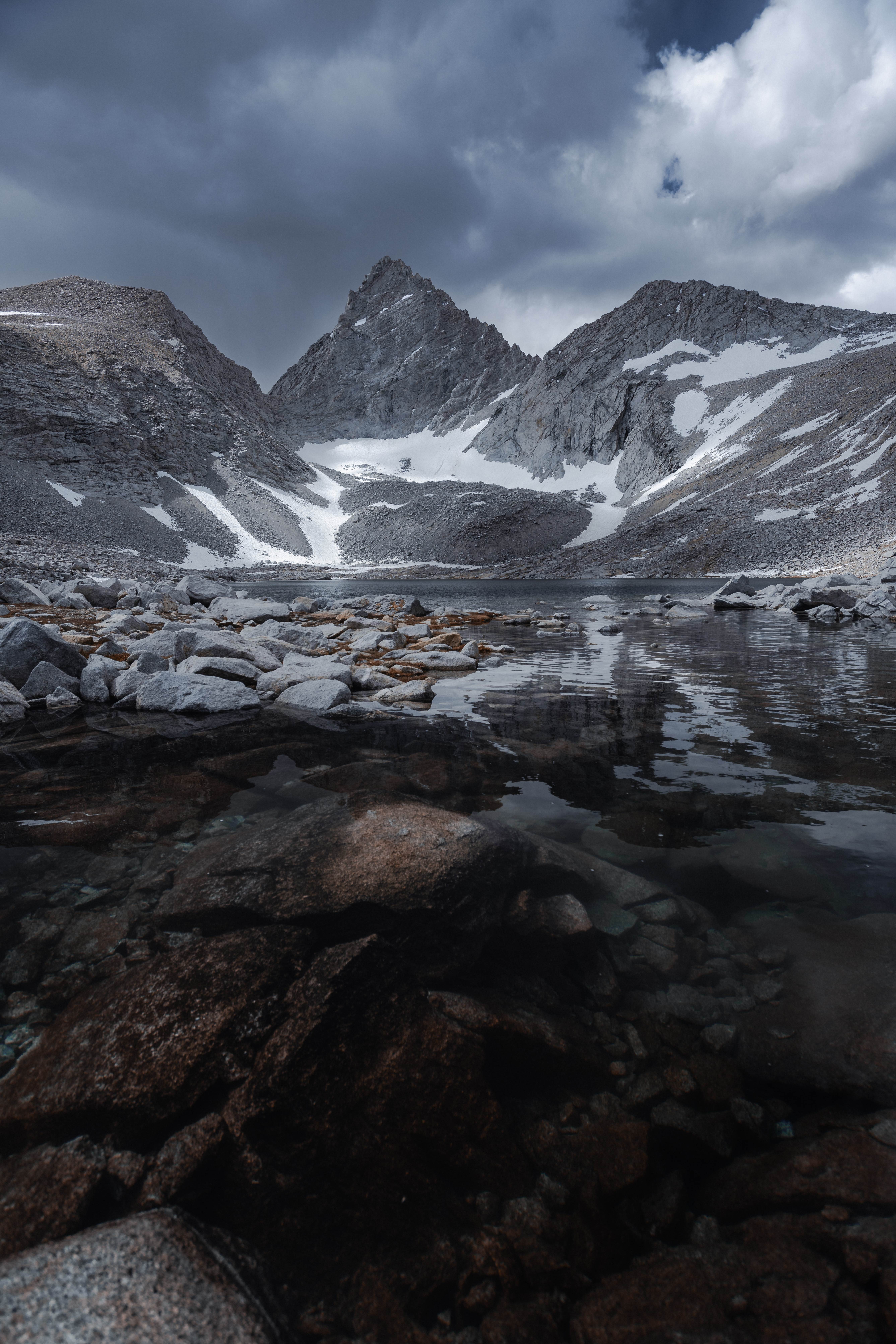
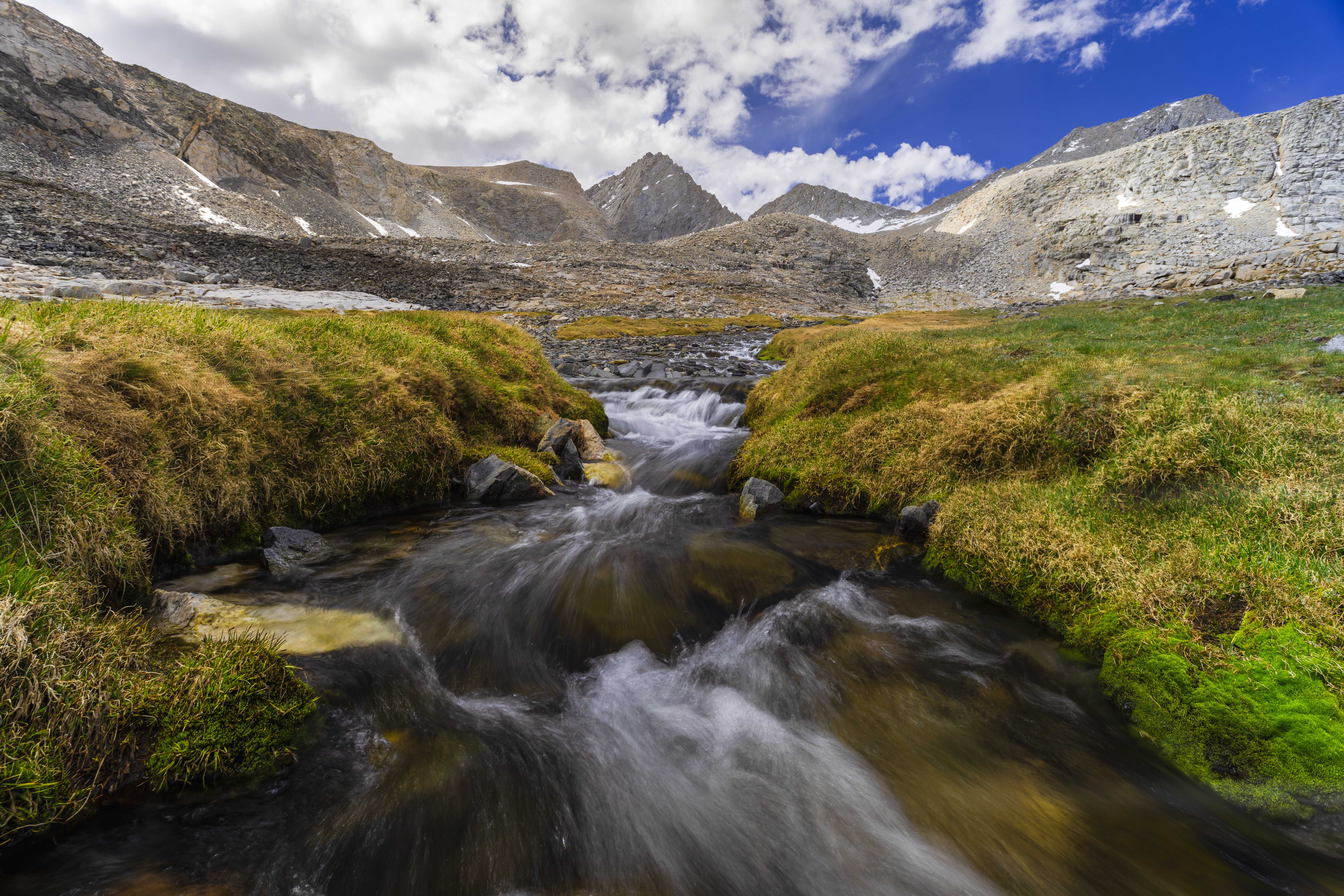
The rain started as I was coming down into Vidette Meadow, with thunder working somewhere far off — the first real weather stress of the trip. I decided to climb: up out of the meadow's mosquitos, closer to tomorrow's pass. What the climb added was a series of increasingly specific signs about the local bears, who had apparently graduated from stealing food to stealing entire bear canisters, so I picked my spot with the particular paranoia of a person camping alone under a thunderstorm in an active-bear zone. This frame is from that climb, between the rain and the dark:
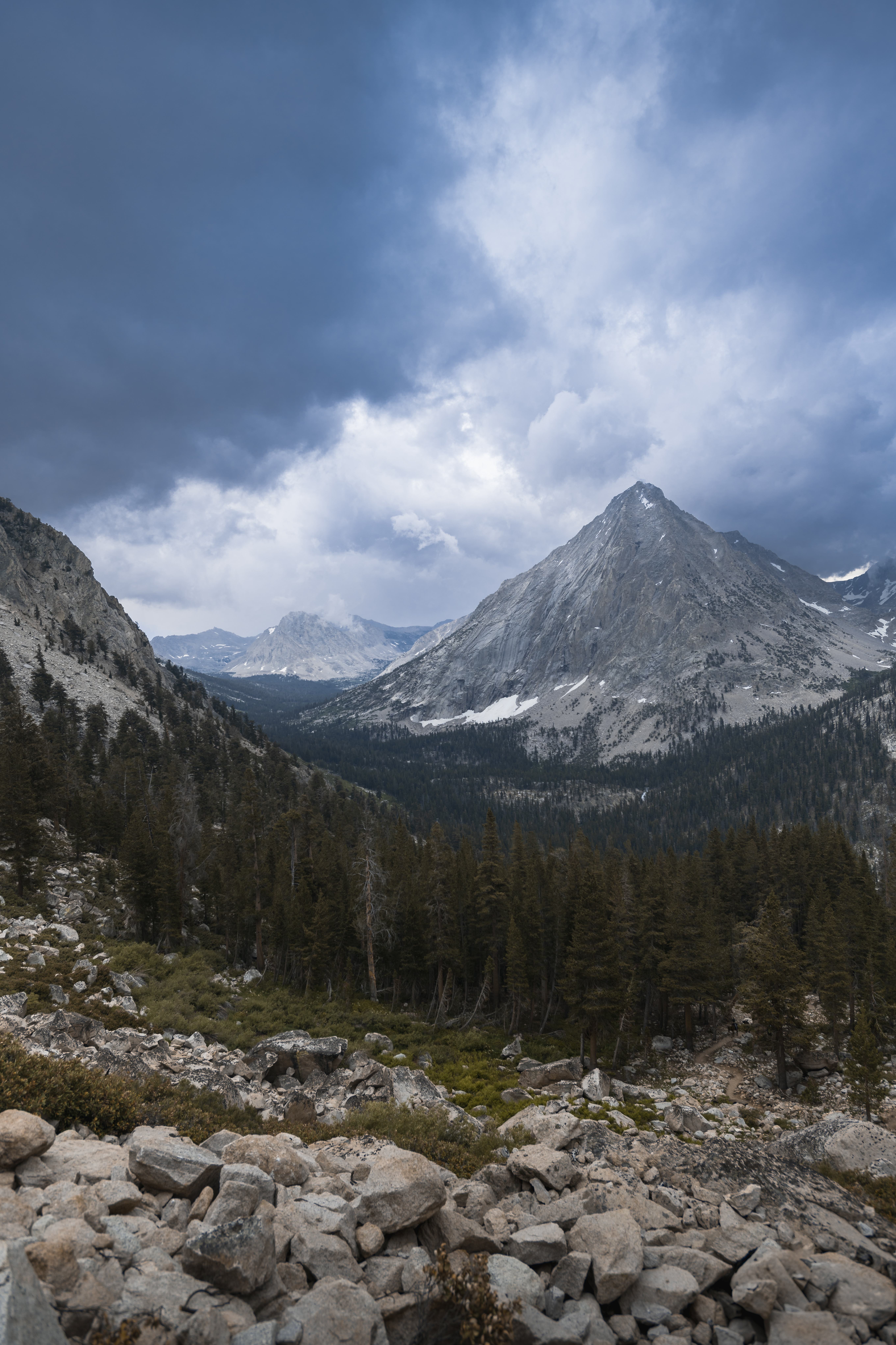
Half an hour after the tent went up, the sky opened properly. And then, overnight, it did the other thing mountain skies do after rain: cleared completely and let all the warmth out. I woke to a tent that crackled when I touched it — the bottom half of the silnylon sheathed in a thin layer of ice, inside a July morning.
Which mattered, because day five was the day I had to go get my food.
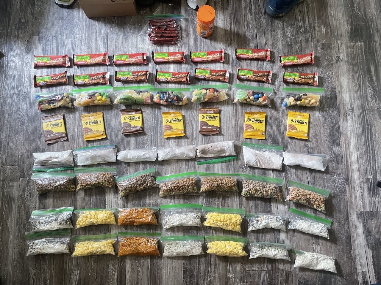
My first resupply was a bear box at Onion Valley, on the far side of Kearsarge Pass — I'd driven up and cached it before the trip. The economics of this are simple and cruel: you descend 2,600 feet out of the wilderness with a beautifully light pack, collect five days of food, and carry all of it back up the pass you just came down. Doing it on ice-tent sleep made it the hardest day of the trip that didn't have Whitney in it.
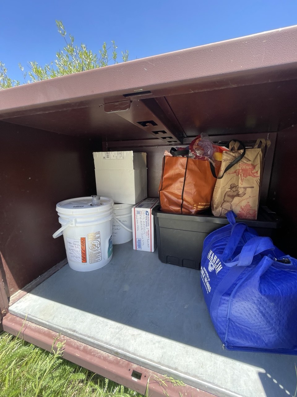
The consolation was company, at least for half of it. The Tyndall Creek PCT crew had been moving with me on and off since that camp, until the storm scattered everyone — and then, almost at the top of Kearsarge Pass, there they were again. We crossed it together and dropped to Onion Valley, where the trail did its usual quiet sorting: they caught their hitch to town, and I shouldered five days of food and turned back up toward the pass alone.
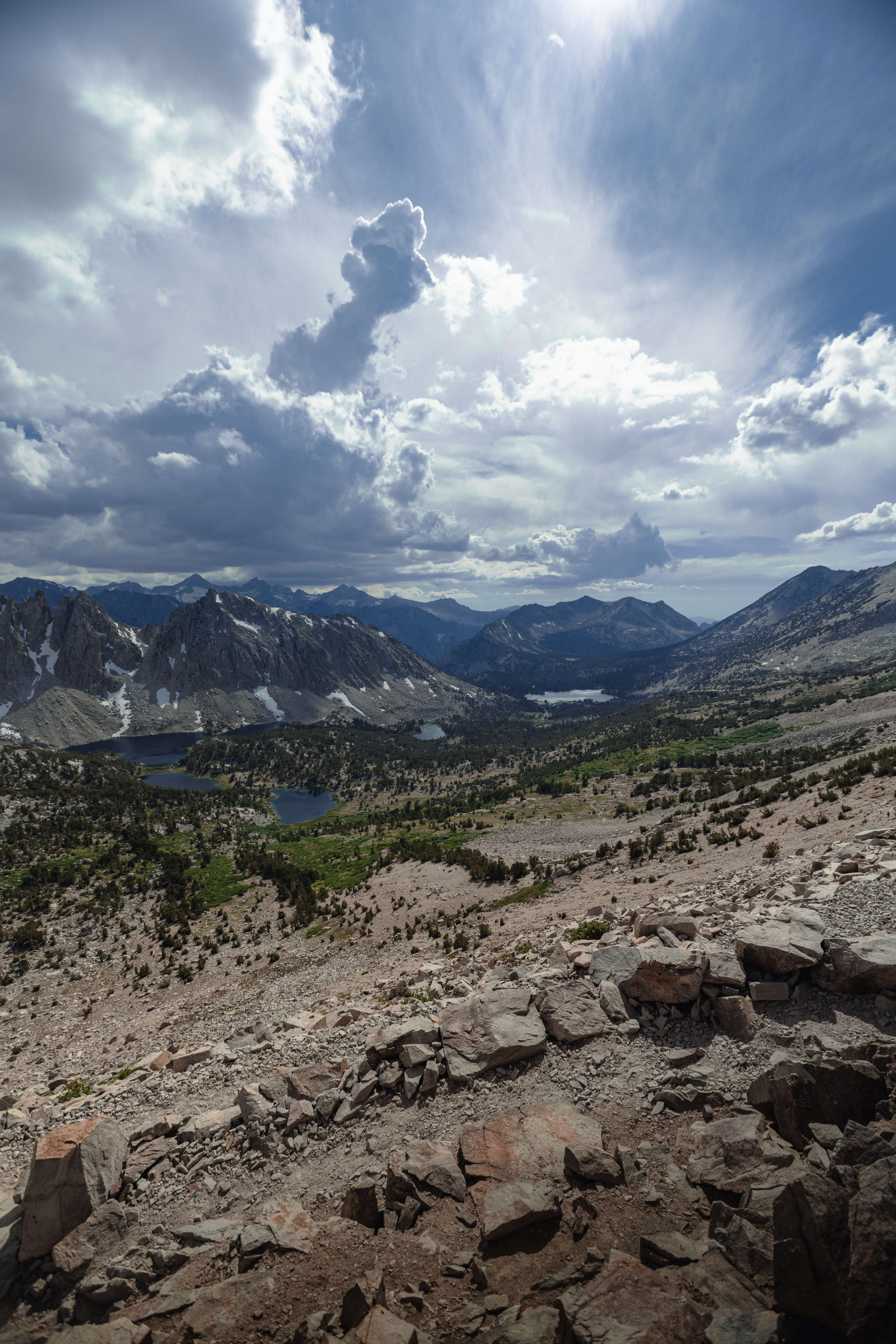
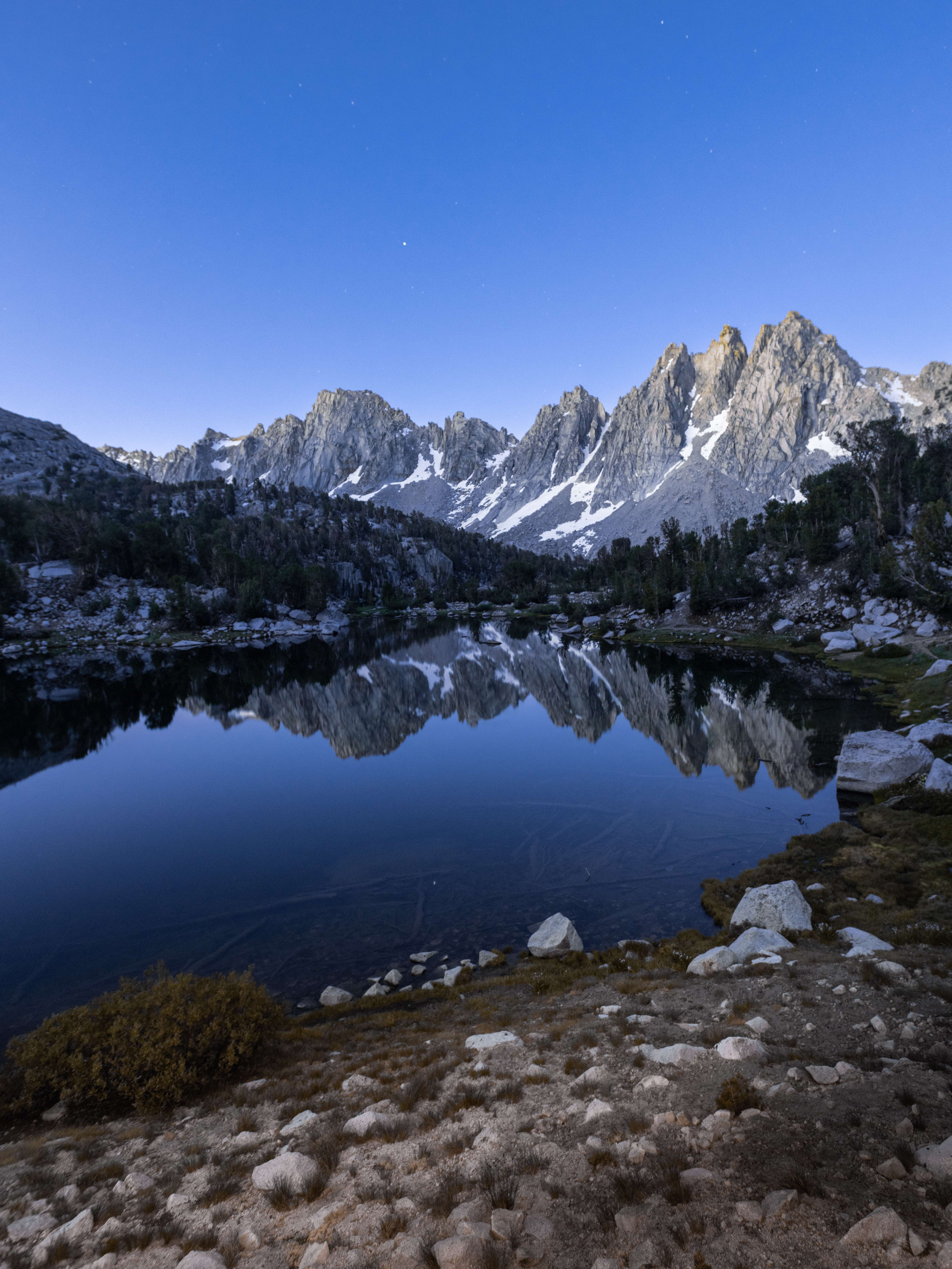
Camp was at Kearsarge Lakes, and the morning paid out everything the previous two days had charged.
Over Glen Pass and down into the Rae Lakes basin that afternoon — and at Rae Lakes the trip changed shape, though I didn't know it yet.
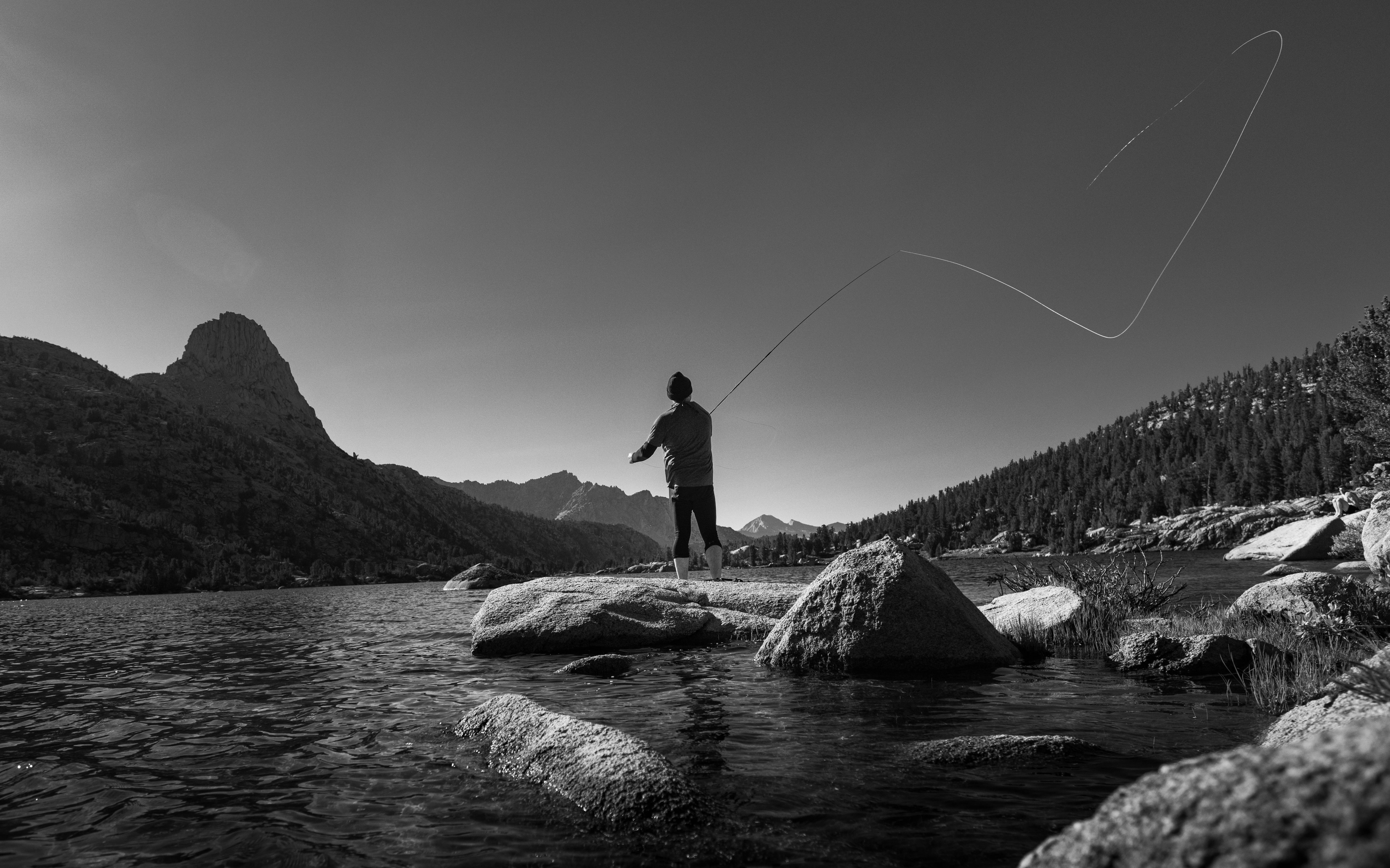
To get through the basin you have to ford the water between the lakes — there's no bridge and no way around it. I came down to the crossing, and there was a man sitting on a rock beside it: line in the air, completely unhurried, under Fin Dome. I was so overwhelmed by the place that the first thing I asked this total stranger was, "Is this a paradise?" The second thing was, "How do I cross this?"
He gave both questions equal consideration. "Even in paradise," he said, "you have to get your feet wet sometimes."
That was Robert. We hiked on and off together for the next two weeks, then only together for the last one, and finished at Happy Isles side by side. A year later we walked the High Sierra Trail together, and he's all over that post too. Some trails give you photographs; the good ones also give you people.
Days 7–11: The heart — Pinchot, Mather, Muir Pass, and Evolution Basin
The stretch from Rae Lakes to Evolution Basin is the deepest wilderness on the route — five days between road-touchable points, three major passes, and the country that justifies every heavy, cold, rationed thing about a thru-hike.
Day seven ran the length of the Rae Lakes basin, crossed the Woods Creek suspension bridge, and climbed the long stairs to Pinchot Pass — which I took that same evening rather than saving it for the morning like the map suggests. The reward was a camp alone in the barrens just above Lake Marjorie, on the quiet side of the pass.
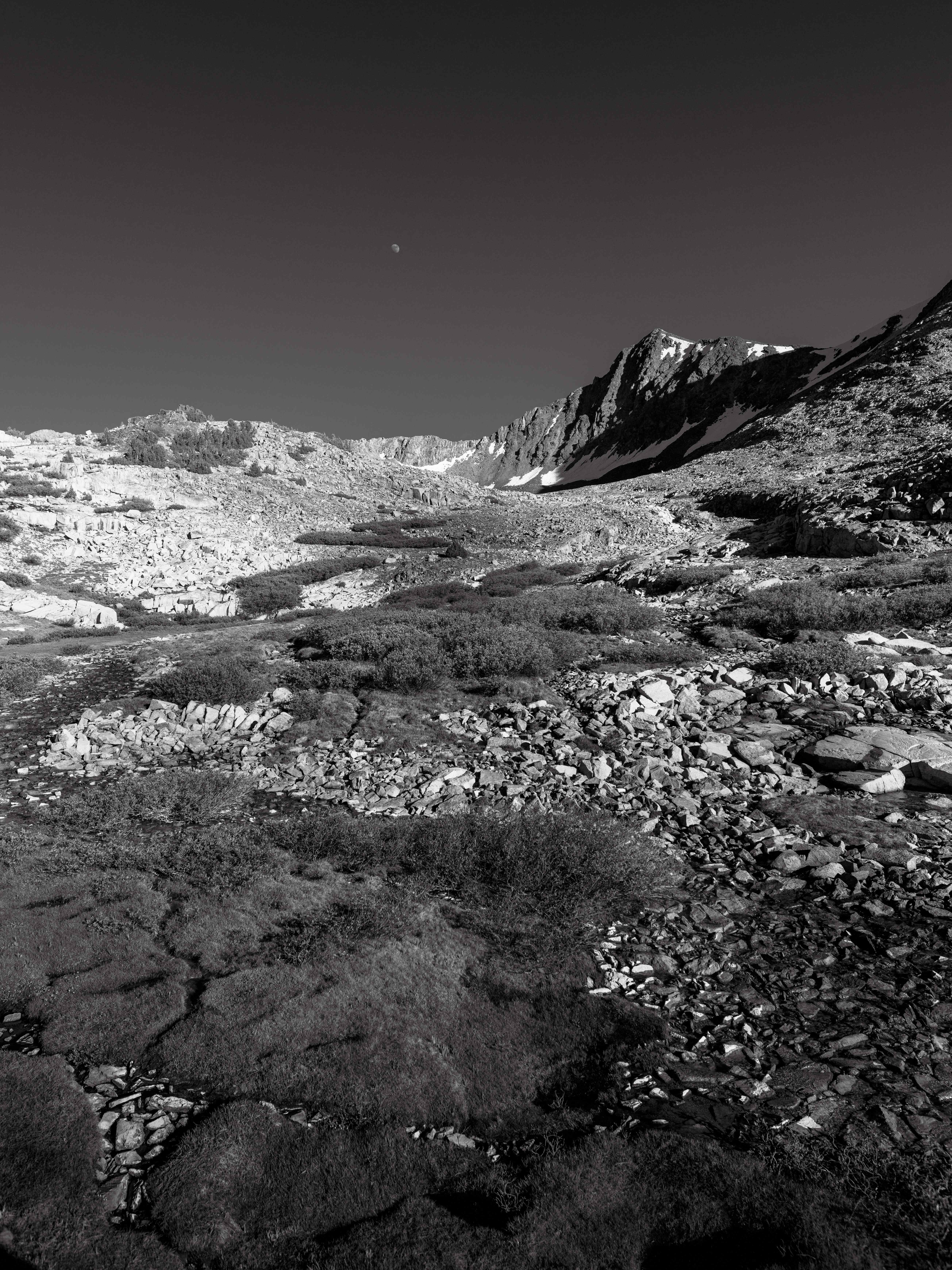
Day eight crossed Mather Pass and dropped to a camp at the Palisade Lakes, with the Golden Staircase waiting below.
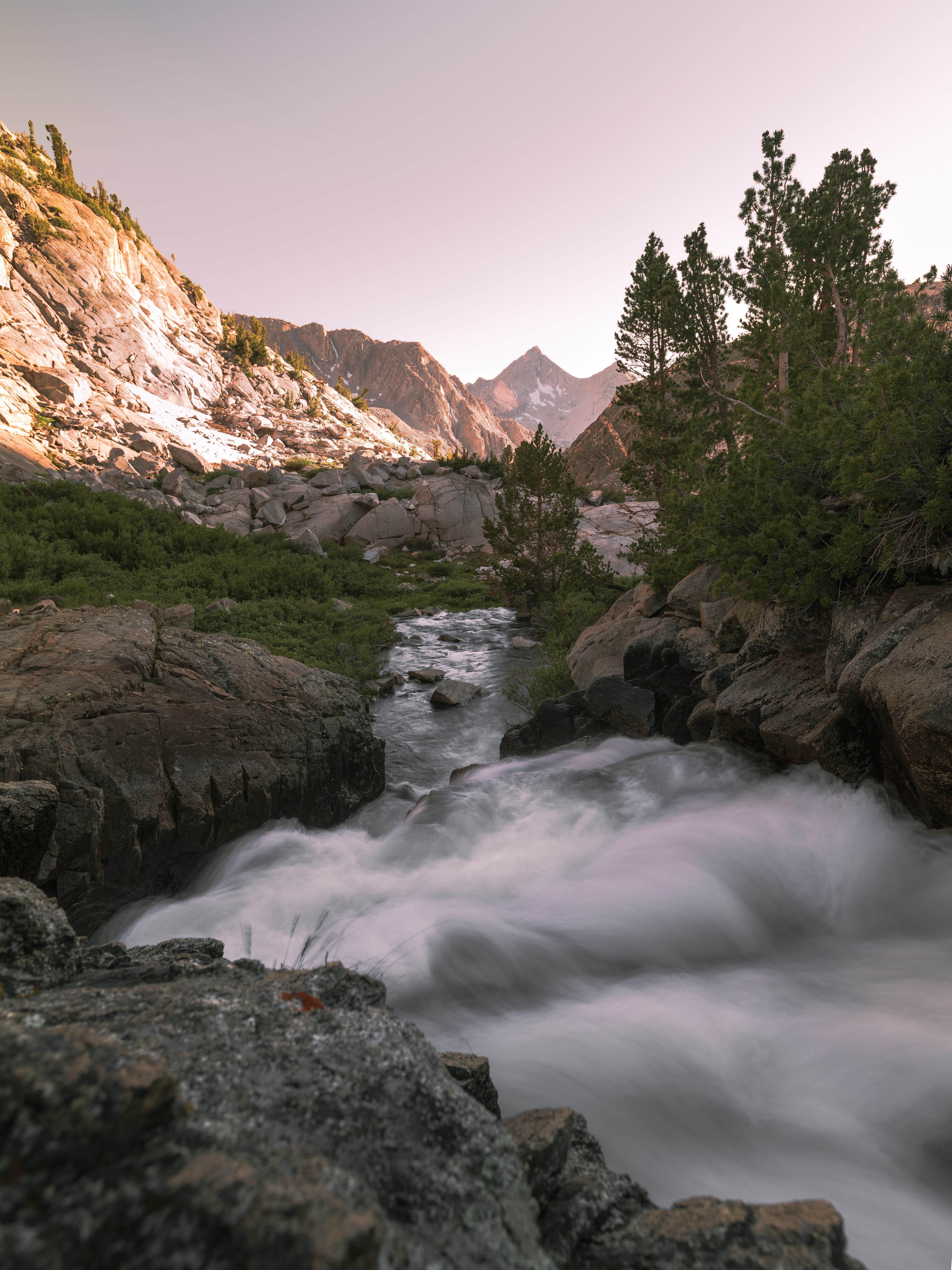
Day nine was the payment: down the Golden Staircase — the last section of the JMT ever built, blasted into the canyon wall — and then the long climb up LeConte Canyon, almost fifteen miles of losing altitude and buying it back. It's a day of famous scenery and — honestly — no photographs I'd hang. Big-mile days and photography are enemies. You descend the iconic part at noon in flat light and arrive in camp with exactly enough left in you to eat. I stopped fighting it: on days like that the camera stayed clipped to the strap, and the trail got walked.
Day ten gave everything back. Up the head of LeConte Canyon in the morning:
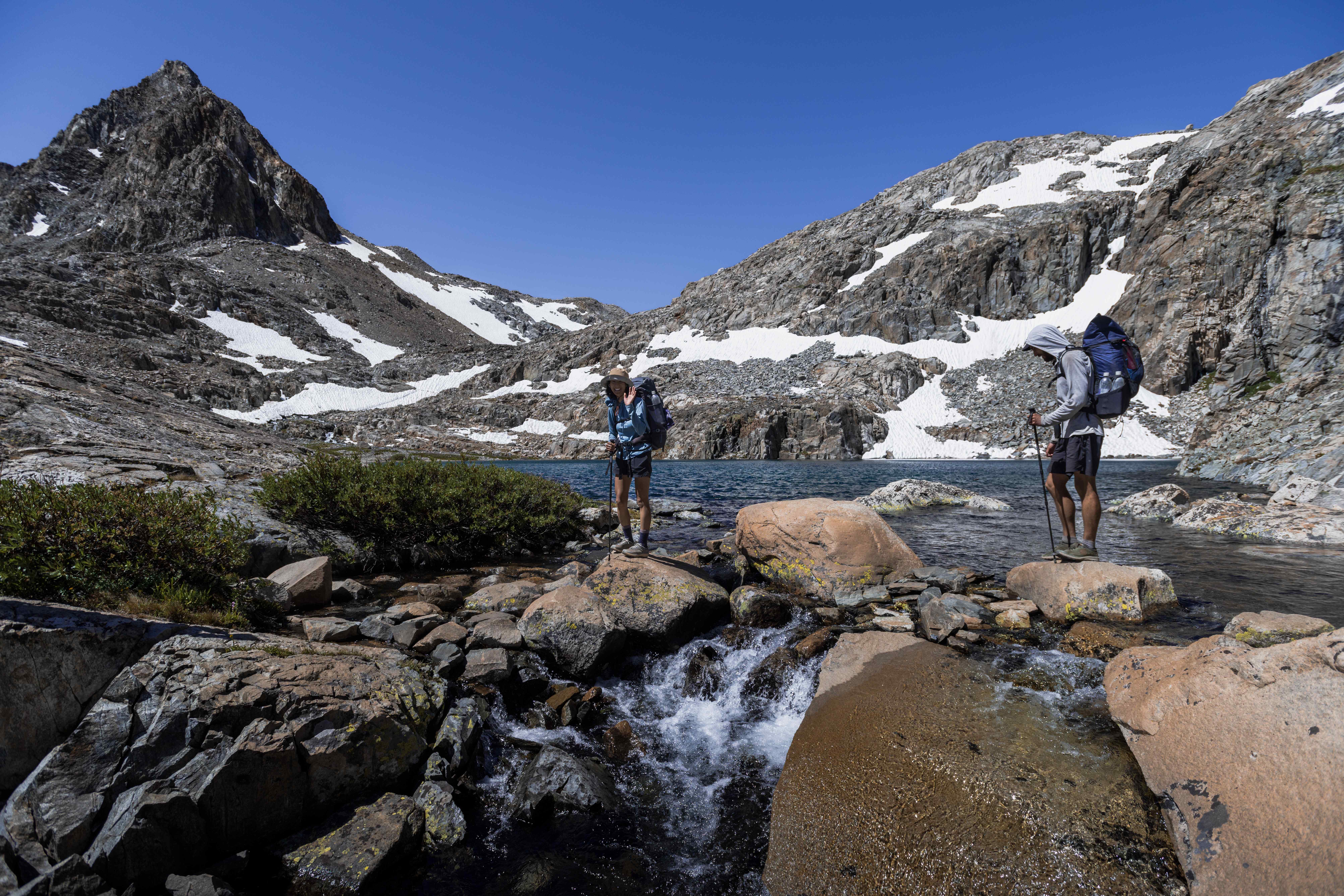
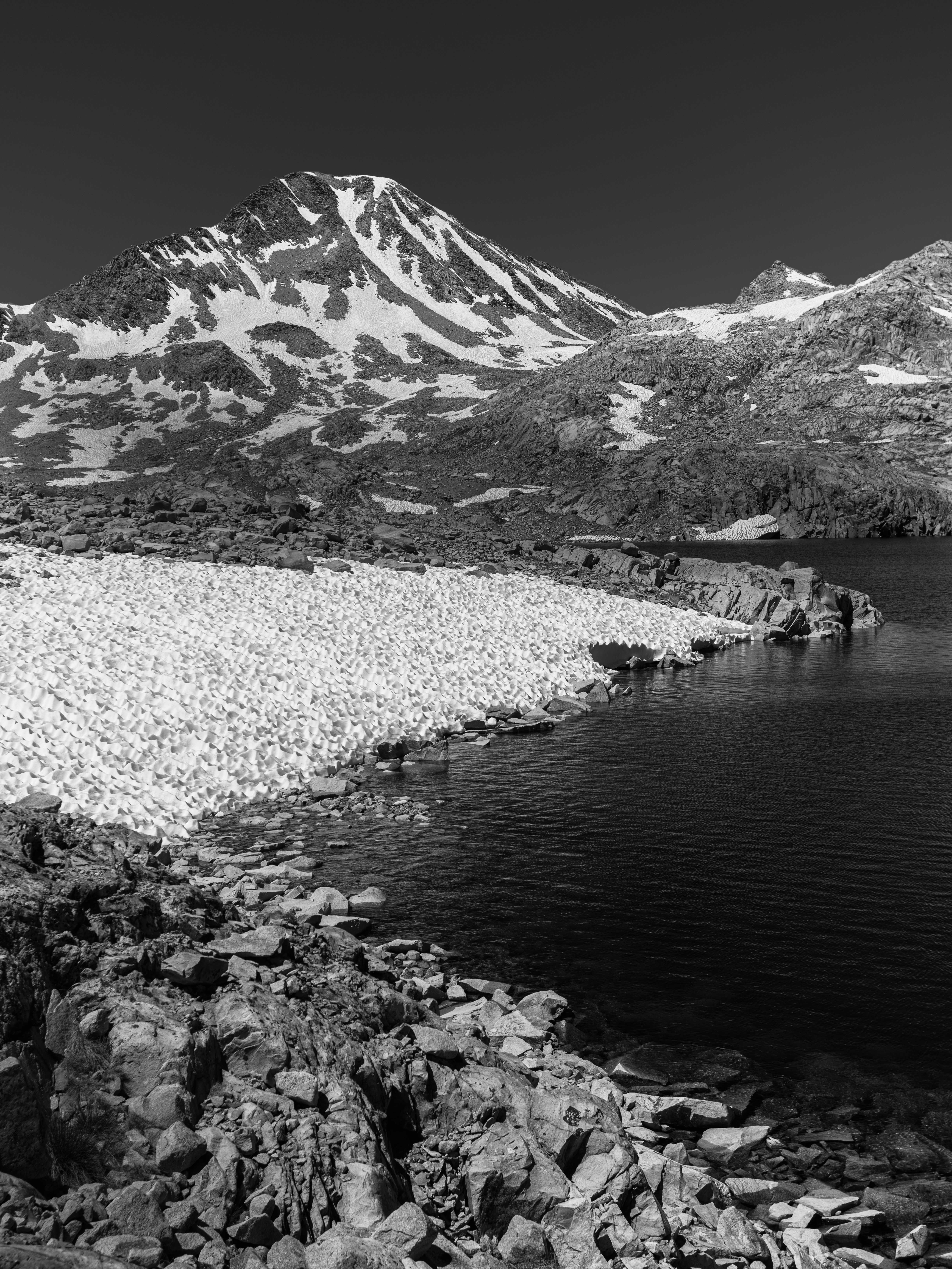
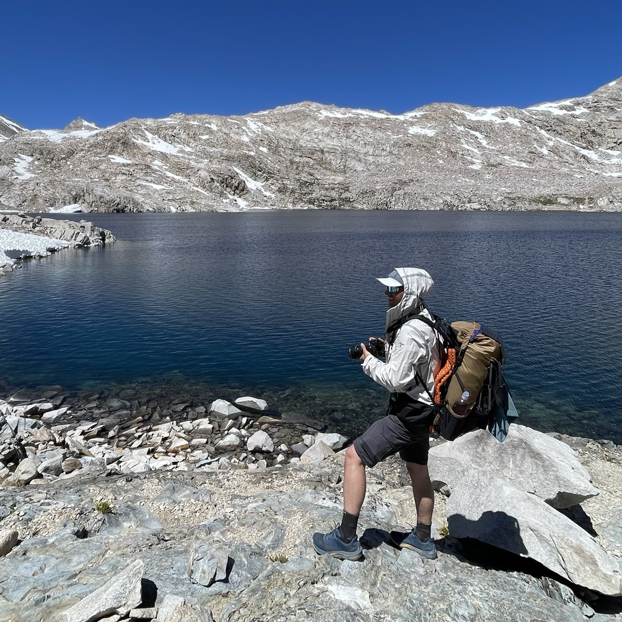
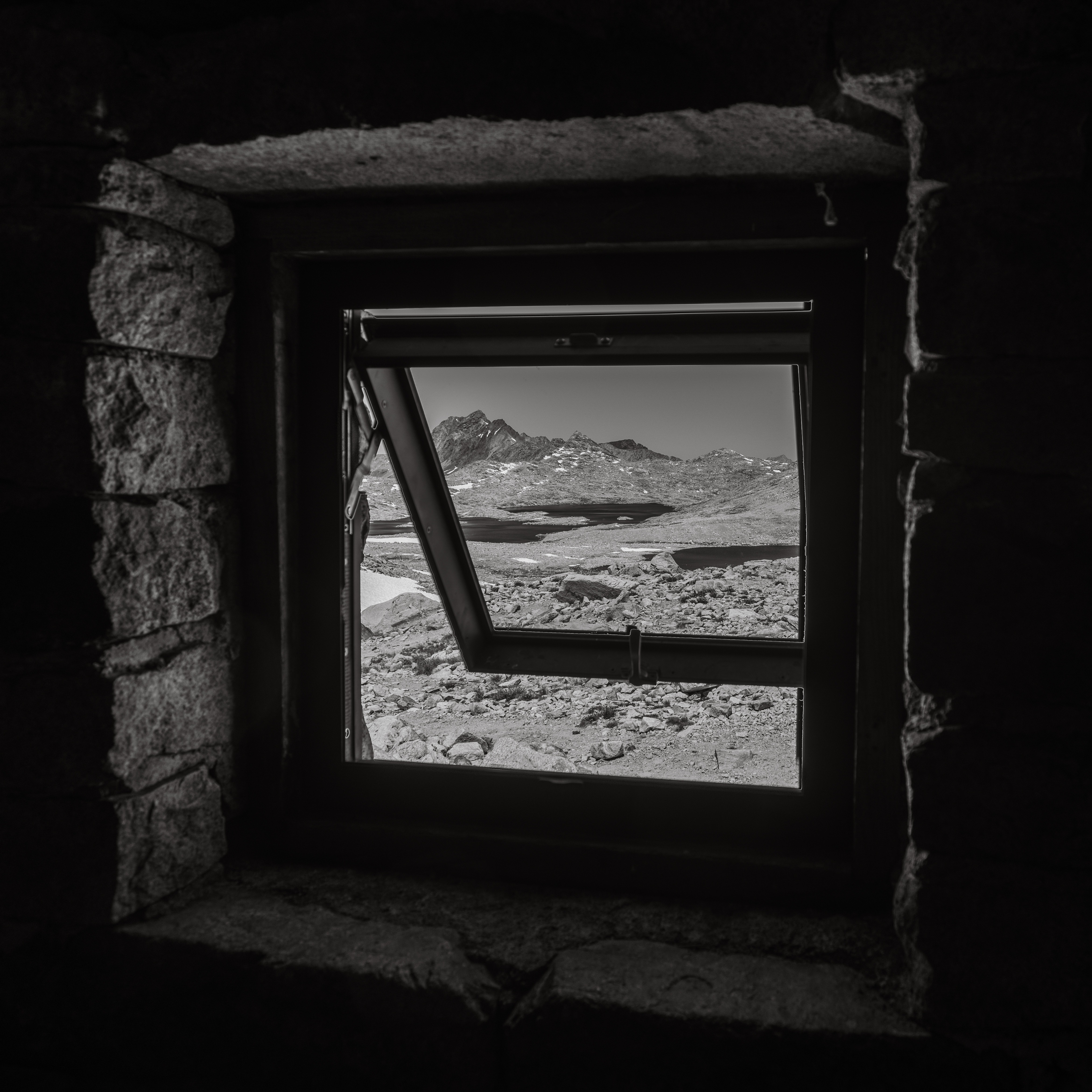
At the top of Muir Pass sits the hut the Sierra Club built in 1930 — the only roof for days in any direction — and its window makes the only frame in this post that has walls in it.
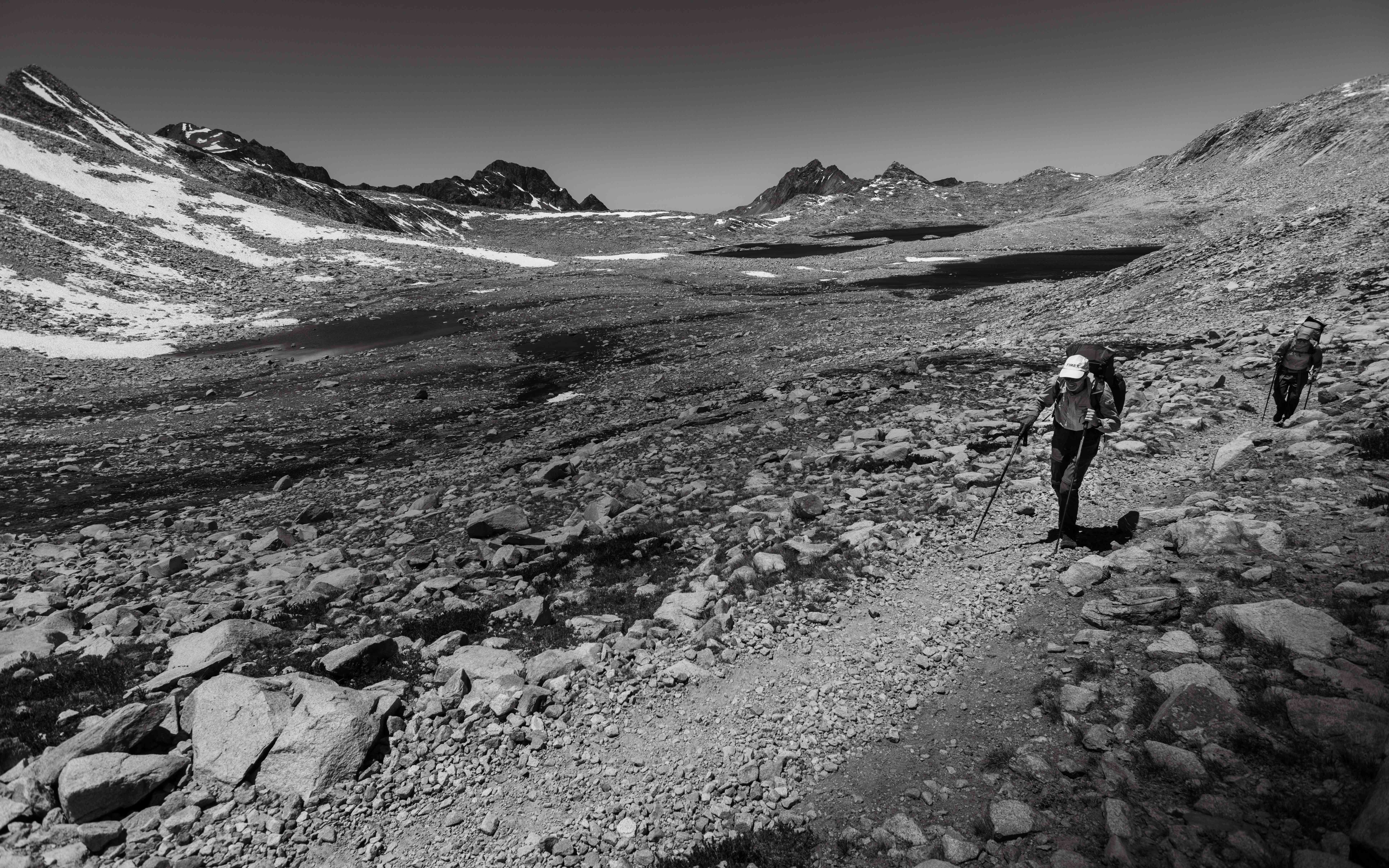
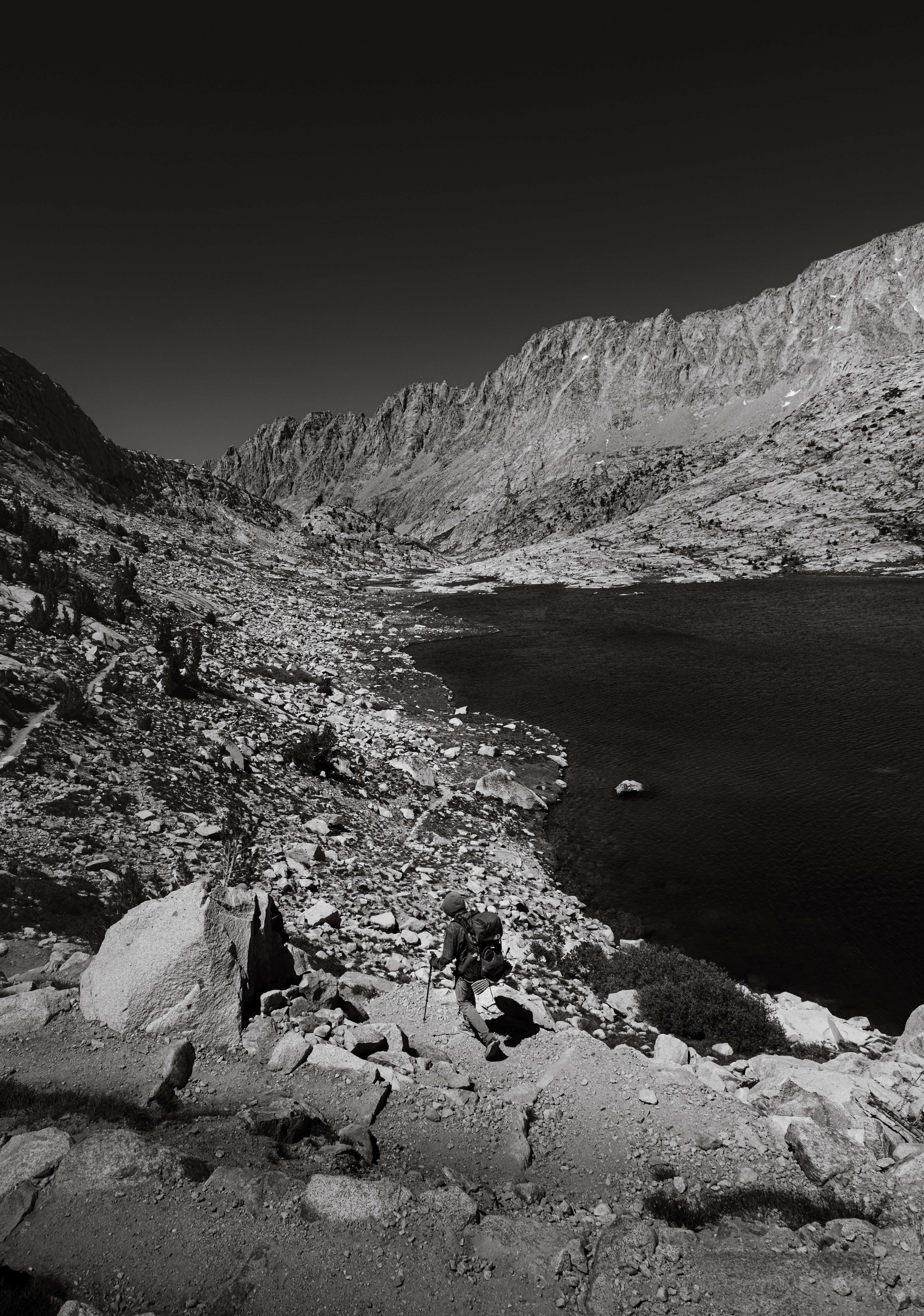
And then Evolution Lake, which is the place I'd send someone who had one night to understand why people do this trail. Near the outlet, a faint use path slips around behind a hill and dead-ends at a waterfall — the lake gathering itself before pouring off the shelf toward Evolution Valley. I pitched the tent on a ledge right at the lip of it: cliff in front, the whole valley below, water talking all night. The best campsite of the entire trail, and the sunset knew it.
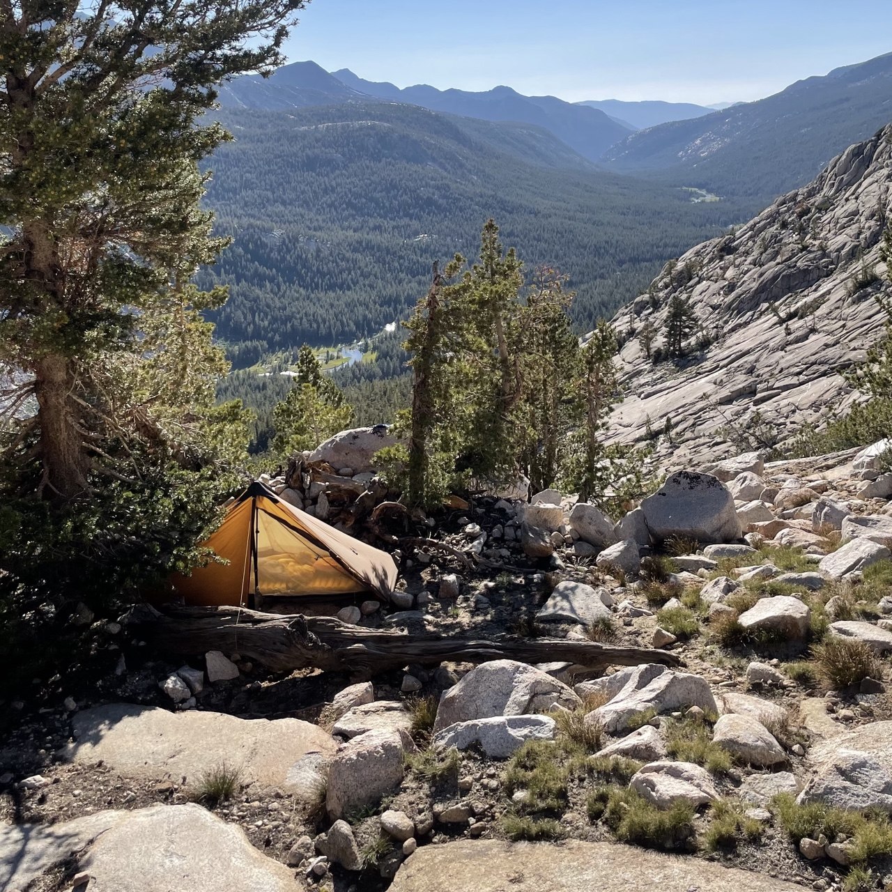
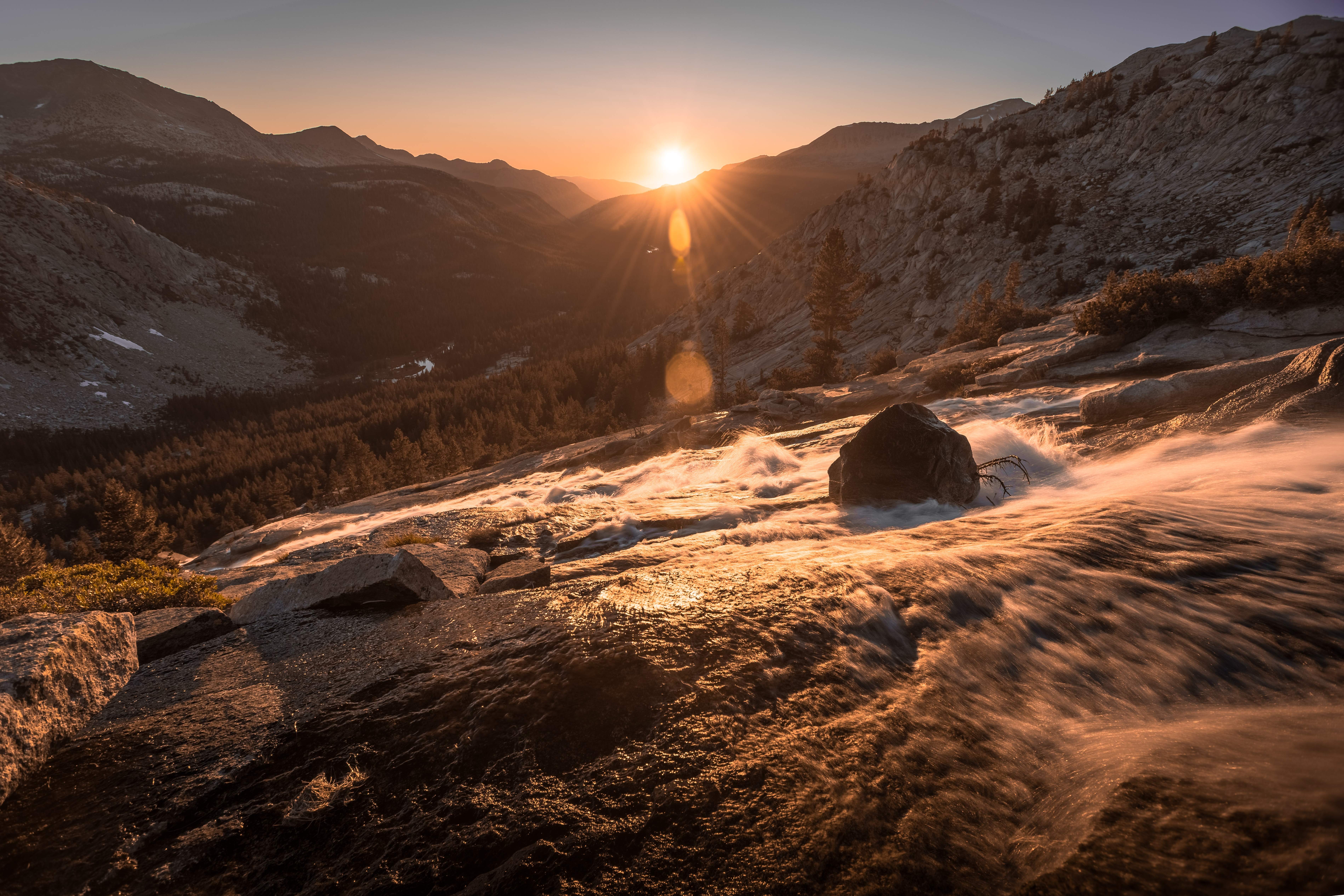
Day eleven wound down through Evolution Valley and McClure Meadow to the San Joaquin — gentle, green, and gone before I'd finished being glad about it — and ended at the gate of the strangest institution on the trail.
Days 12–15: The interlude — Muir Trail Ranch, the VVR ferry, and a zero
Muir Trail Ranch is the JMT's halfway mark: a horse-packed outpost in the middle of nowhere that exists, as far as a hiker can tell, to hand you the bucket you mailed yourself and sell you nothing else. My second resupply was there, and I gave it real time — took a spot in the hiker campground, sorted the bucket, decompressed, and spent the evening trading stories with the PCT crowd coming through.
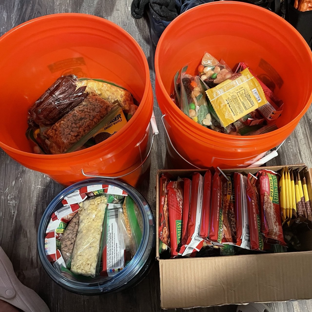
That evening produced my favorite non-photograph of the trip: a PCT hiker from Minnesota named Scavenger, so called because he'd once pulled a pair of Darn Tough socks out of a hiker box, found the hole in them, and mailed them home for warranty replacement. A man who out-frugaled a free box. We all ate together, everyone throwing extra food into the middle after the resupply, and Scavenger put away two of Robert's dinners in one sitting to general applause. Two weeks in, that's what luxury looks like: too much food and company to share it with.
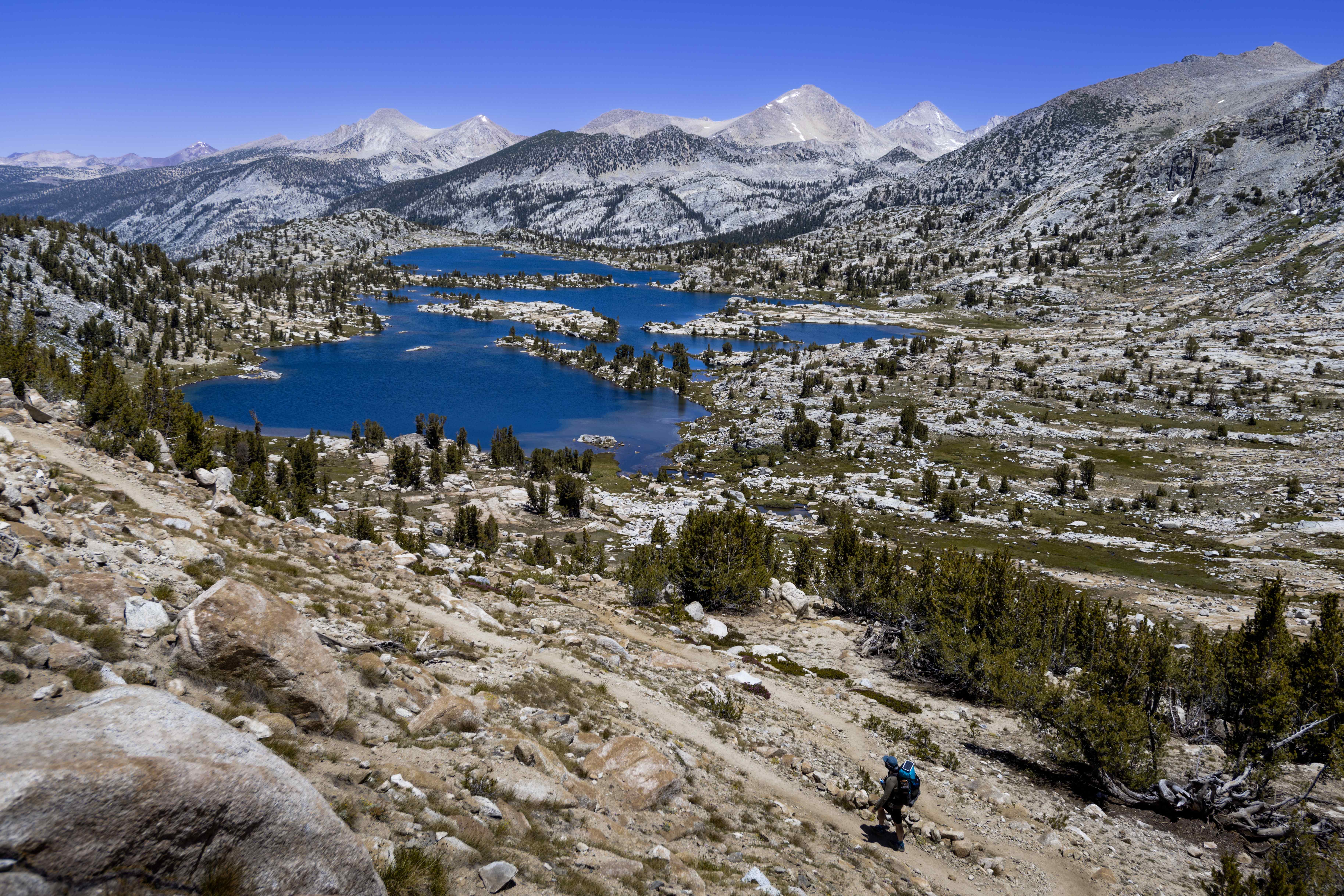
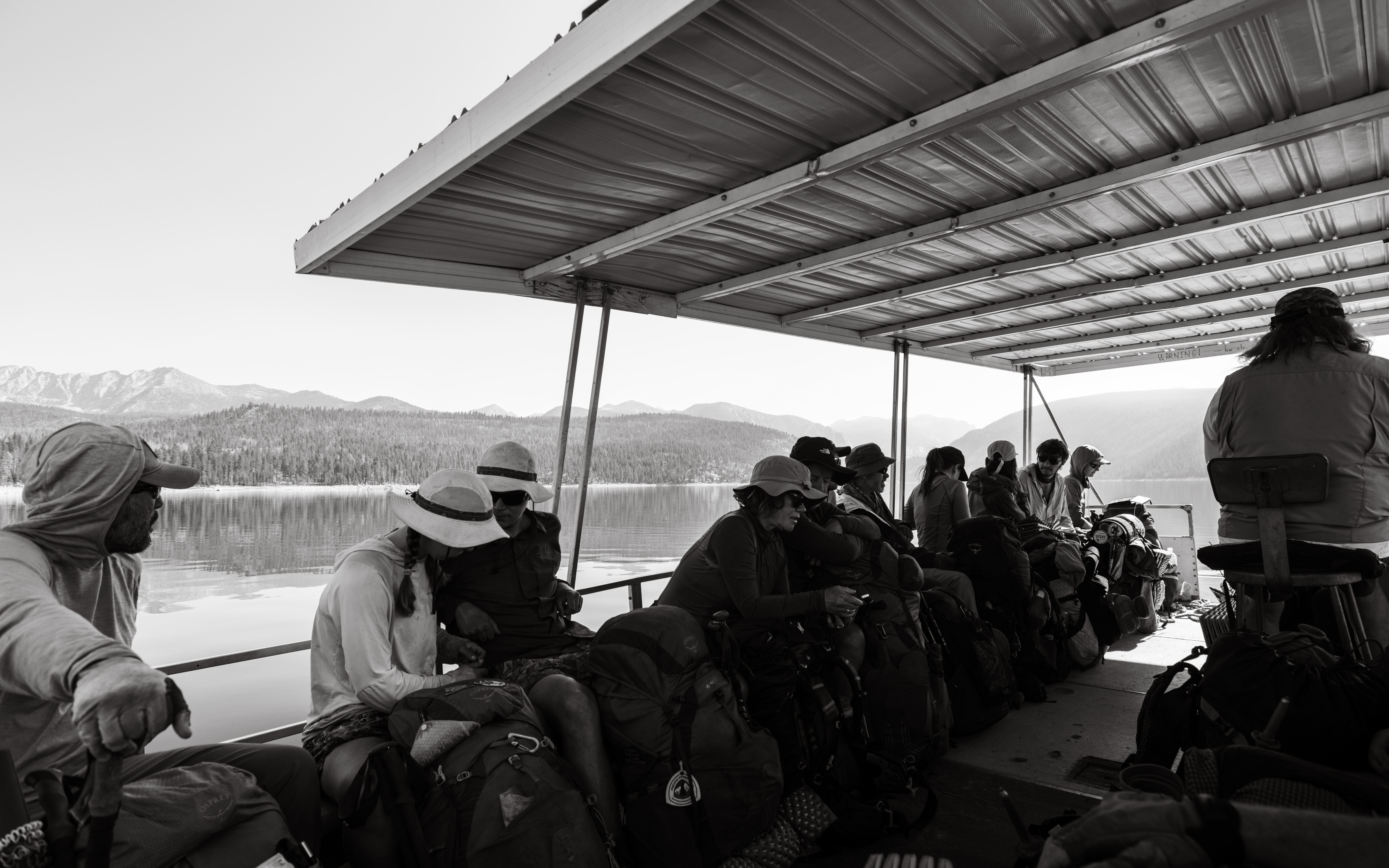
Over Selden Pass, down Bear Creek, over Bear Ridge, and then the trail plays its best trick: it deposits you at the edge of Lake Edison, where a ferry — an actual ferry, with seats and an outboard and other people's clean clothes — carries you to Vermilion Valley Resort.
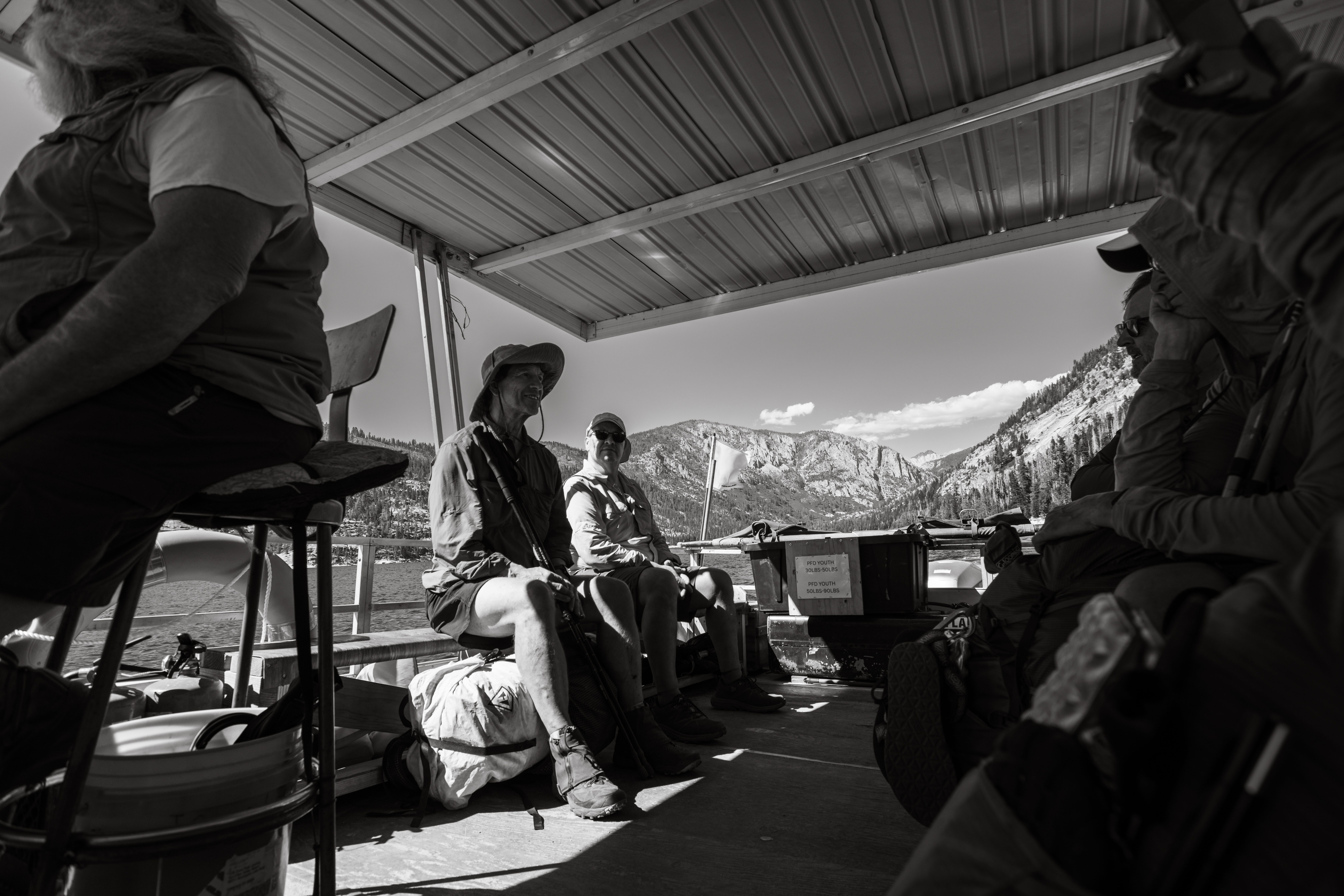
The ferry had a captain, and he deserves more than a caption. Perry Harris — "Paint Your Wagon" to the thru-hiking world, Captain Paint for short — had been carrying hikers across Lake Edison for years: roll calls at the landing at dawn, beers and jokes around the campfire at dusk. He carried us over that afternoon, and on the zero day we ended up spending the evening drinking and trading stories with him. That's not special treatment; that was just what an evening near Paint was like.
Six weeks after that evening, he died at the helm. His ferry struck a submerged rock; he steered the damaged boat to shore, got every passenger off safely, and then collapsed. He was 68. The papers wrote it up, and VVR said it best: he went doing what he loved, serving hikers on Edison Lake. I didn't know, sitting on that boat, that I was photographing the last summer of a Sierra institution. I'm glad the frame exists.
The Tyndall Creek PCT crew surfaced at VVR too — they kept to their own orbit, as trail groups do in town, but a couple of beers crossed the gap.
By then we were four: Robert; Bart, who'd started with his brother but was nursing a knee that had other plans and had fallen back to our pace; and Ronda, who I genuinely cannot remember meeting — she was just suddenly there at dinners, and had been for days, the way the best trail people materialize. All four of us took the zero at VVR together.
A zero day at a hiker resort is its own genre of surrealism: pedal boats on a reservoir beach, a tab system nobody fully understands, laundry, burgers. Mine came with a modern touch — sitting on the porch, phone on wifi for the first time in two weeks, I opened my email to find a recall notice from Anker: the power bank in my pack, the one feeding my camera every night, was officially considered a fire hazard and I should stop using it immediately. I looked at it. It looked at me. It had 120 miles left to work, and it worked them without complaint.
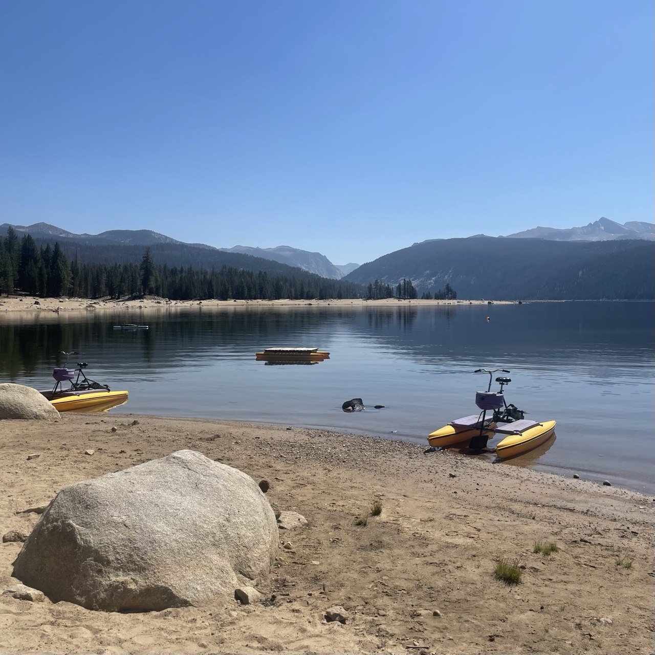
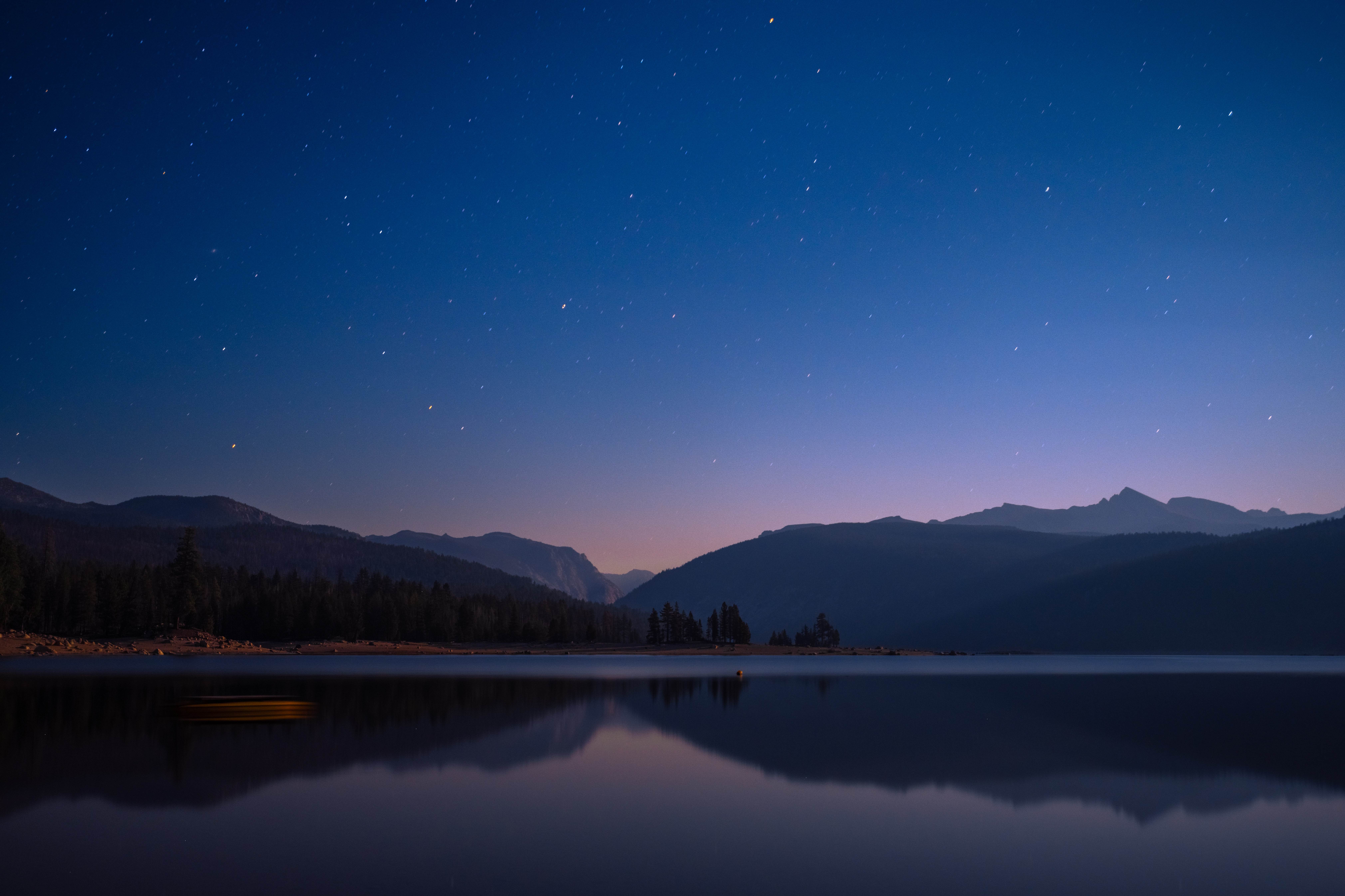
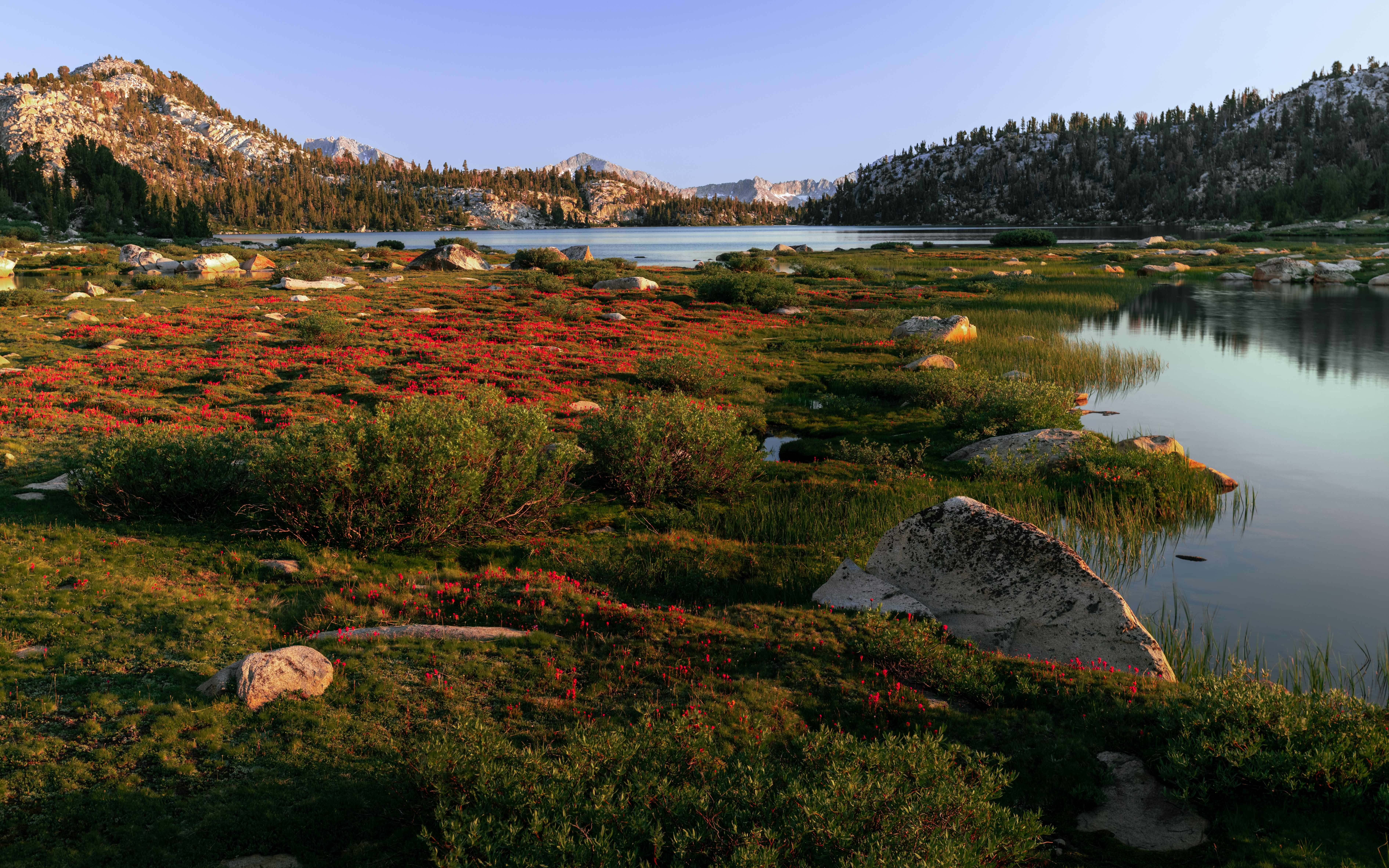
Silver Pass went by in forest light and afternoon miles, and the evening delivered the softest camp of the trip at Lake Virginia, where the meadows turn red in July.
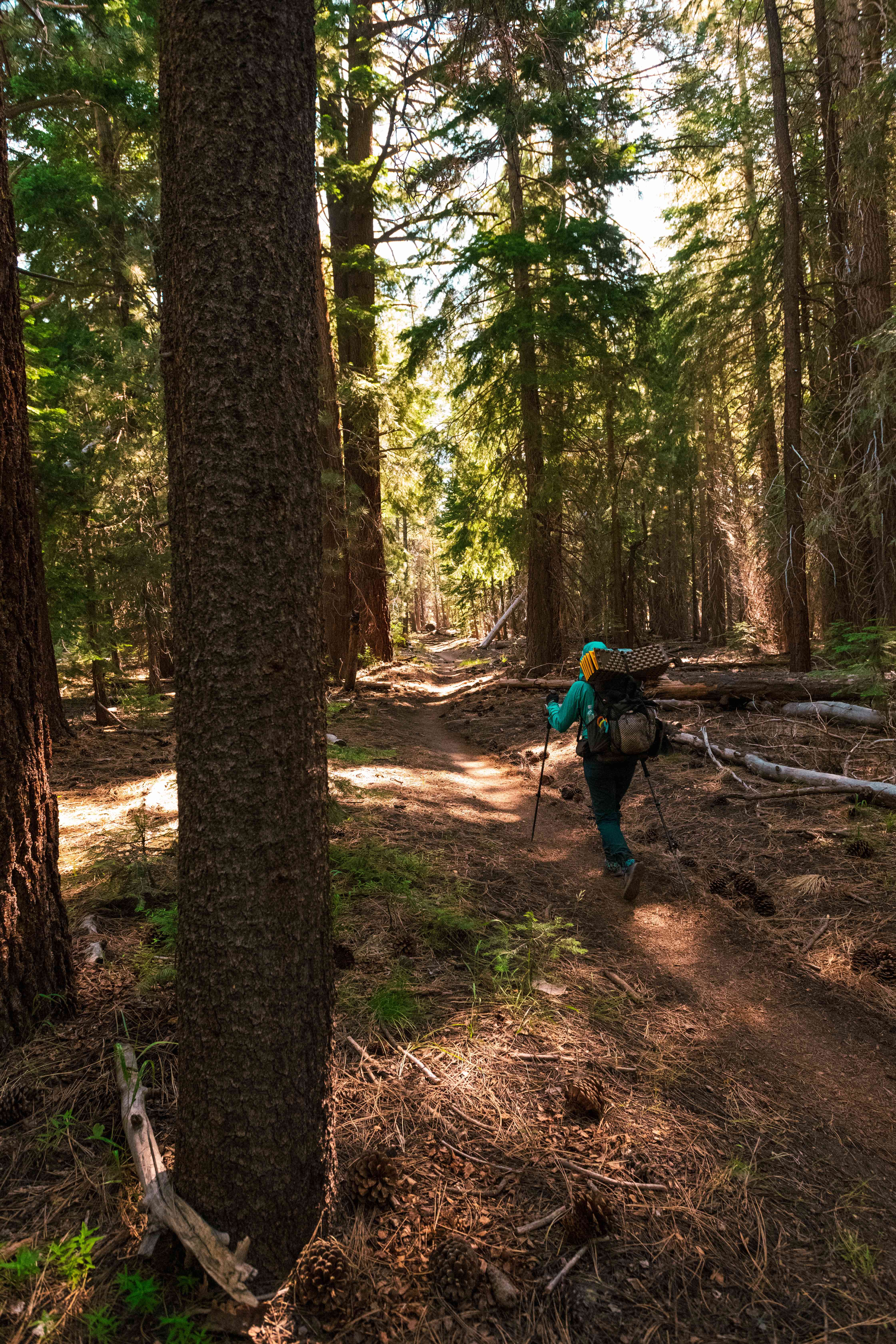
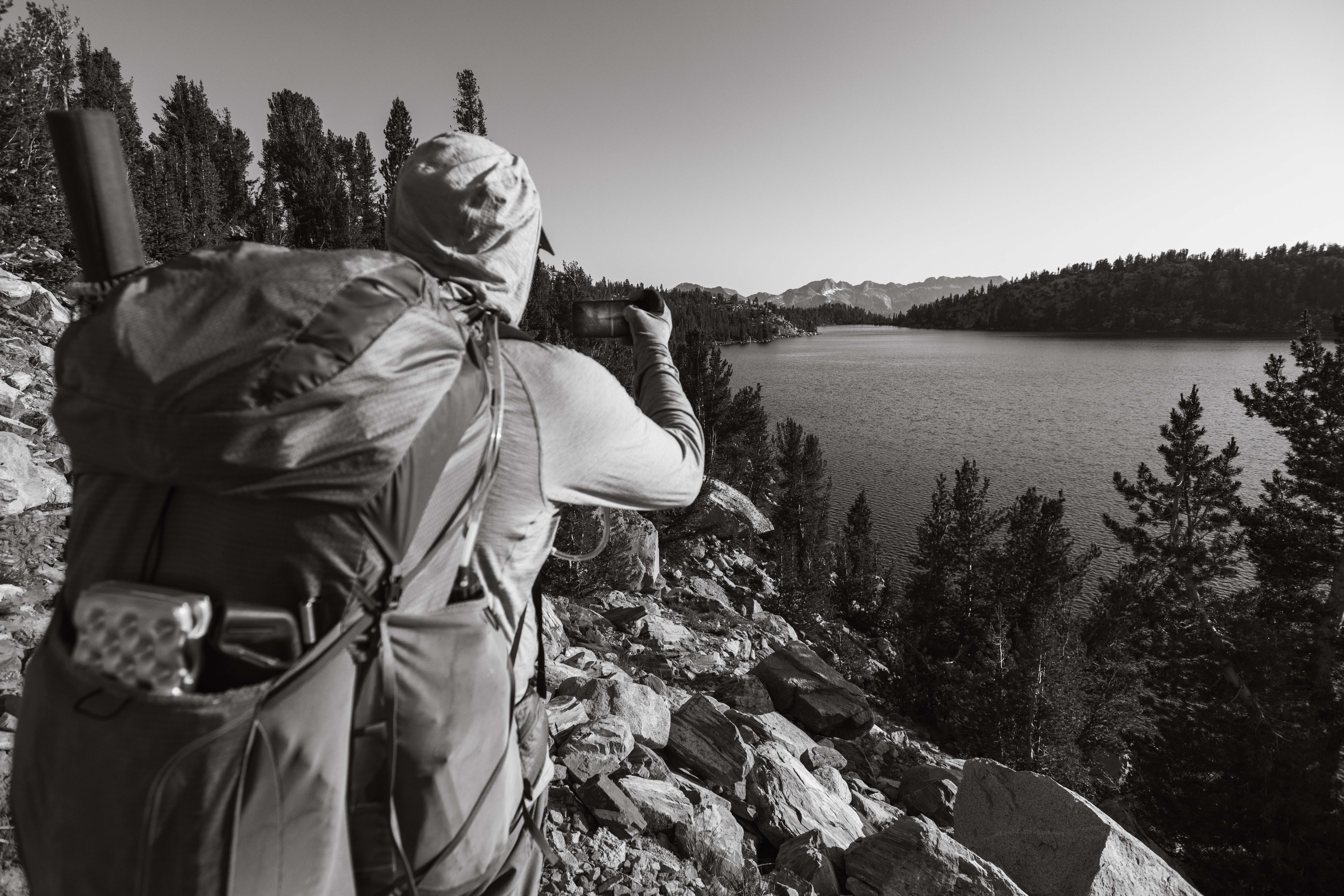
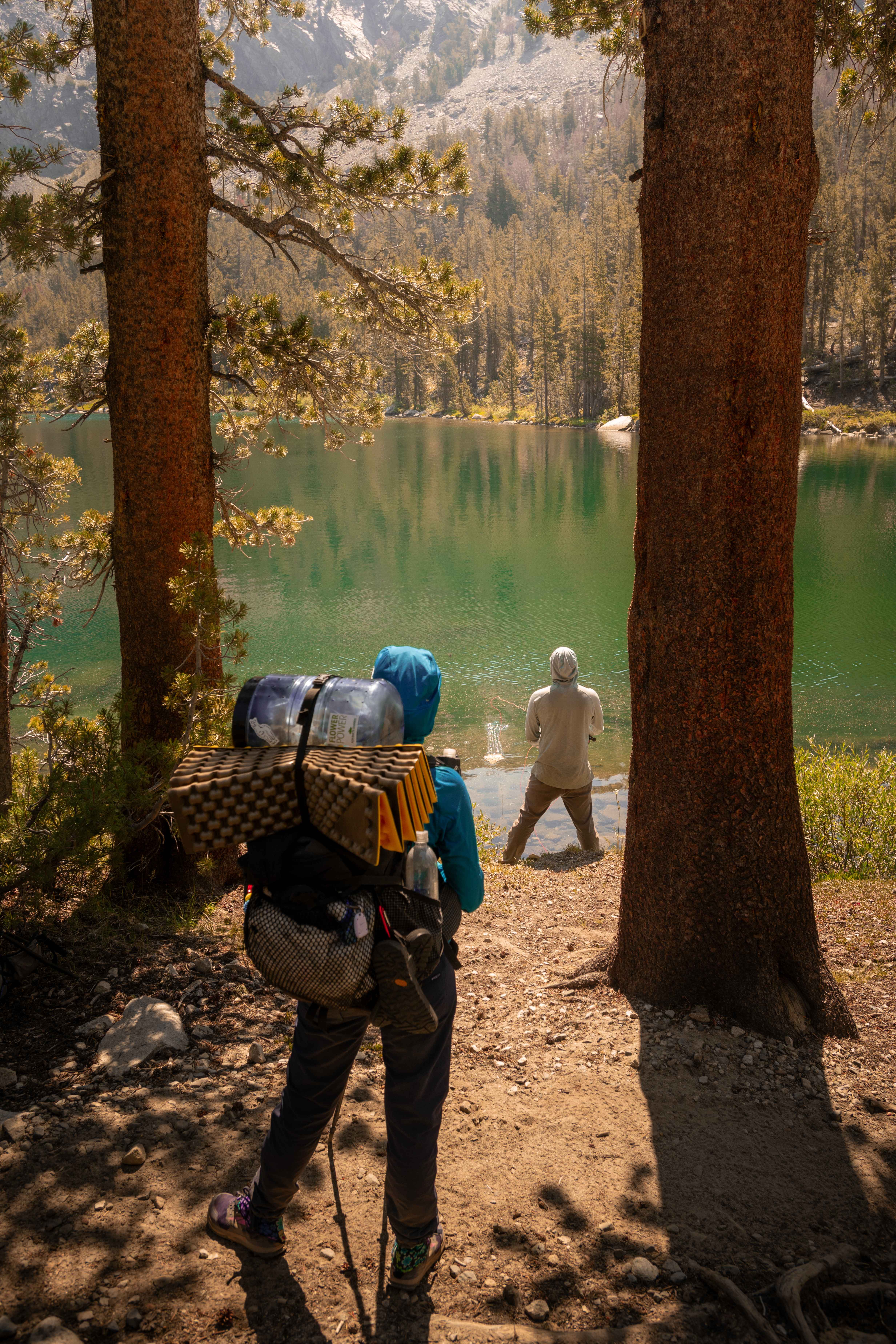
Robert's fishing operated on a fixed principle: small fish went back in the lake, big fish went in the pan. He carried the pan — plus a bag of spices and a bottle of oil, a hundred-odd grams of pure civilization — and on the good nights the three of us went to bed genuinely full, which is a sentence no thru-hiker writes lightly.
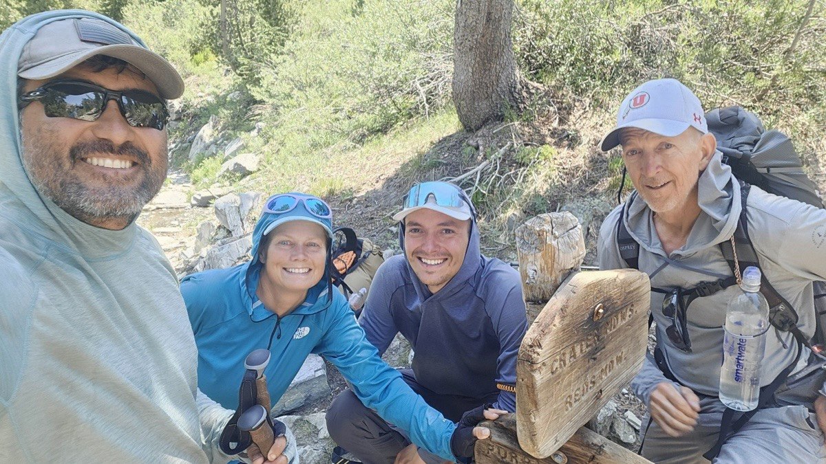
A couple of miles on, at the Duck Pass junction, we lost Bart. His knee had been negotiating for days, and there it filed its final answer — he bailed out toward Mammoth, sensibly, the way you're supposed to and almost nobody does. We stood at the junction sign for one last frame of the full group, and then three walked on.
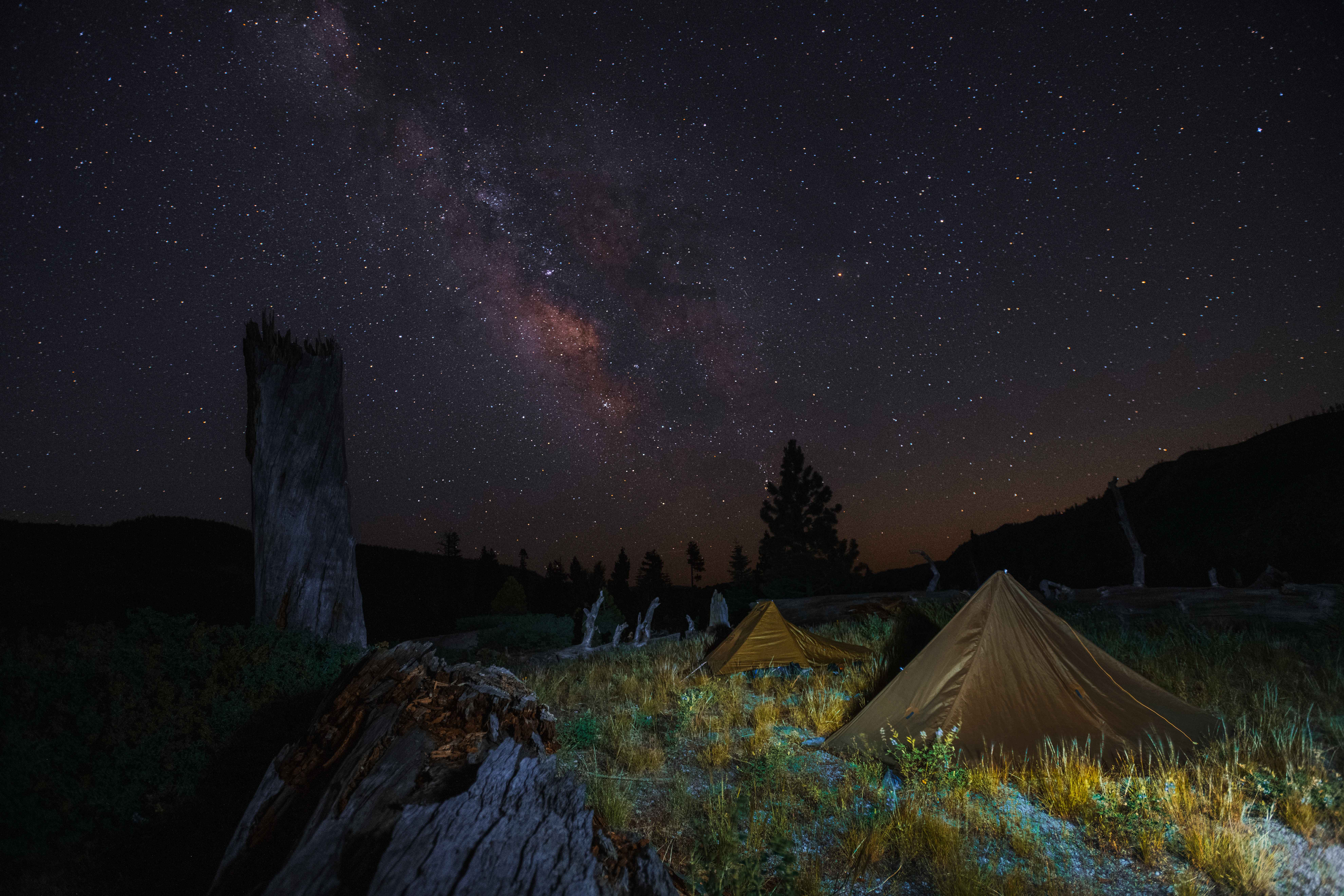
We ended day fifteen off-trail above Rainbow Falls, and the sky ended it better than any of us: no moon, no clouds, and the Milky Way's core standing straight up out of the trees over the tents.
Days 16–18: Ansel Adams country — Devils Postpile to Thousand Island Lake
Morning brought Devils Postpile — the basalt organ pipes are a ten-minute detour and the only National Monument you walk through on the JMT —
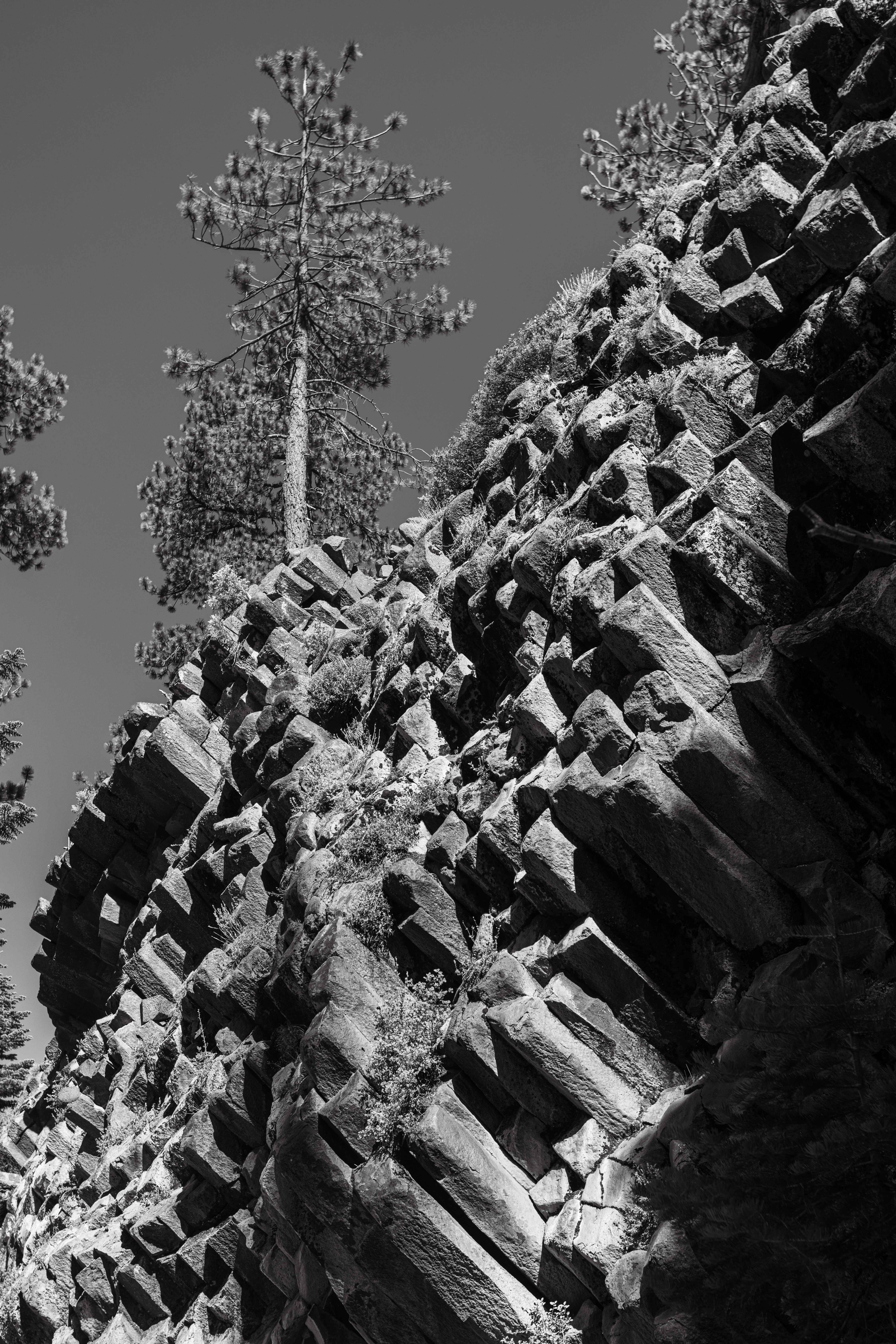
— and then a genuinely disorienting sensation: pavement. The road down into Reds Meadow was the first man-made hard surface in two weeks, and it felt wrong underfoot, springless and loud. Reds itself is the JMT's mid-terrain reward: third resupply, a burger, ice cream eaten with the seriousness of sacrament, and back out before civilization could re-acclimate us.
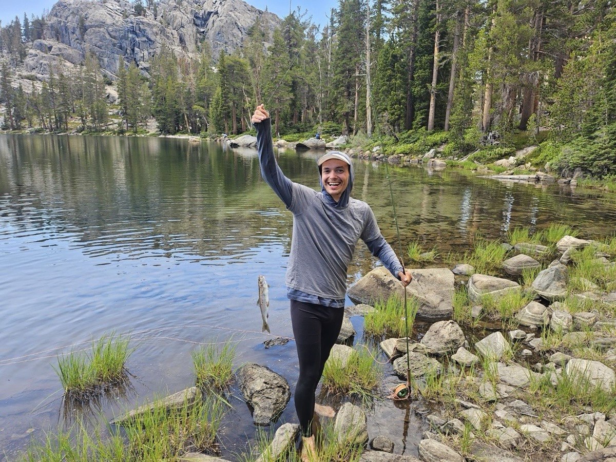
That afternoon at Rosalie Lake, Robert put a rod in my hand for the first time in my life. I would like to report that photography's transferable skills — patience, reading water, waiting for the moment — made me a natural. What actually happened is that I caught a trout, screamed like it was a bear, and have a phone photo of the proudest face I've made in a decade.
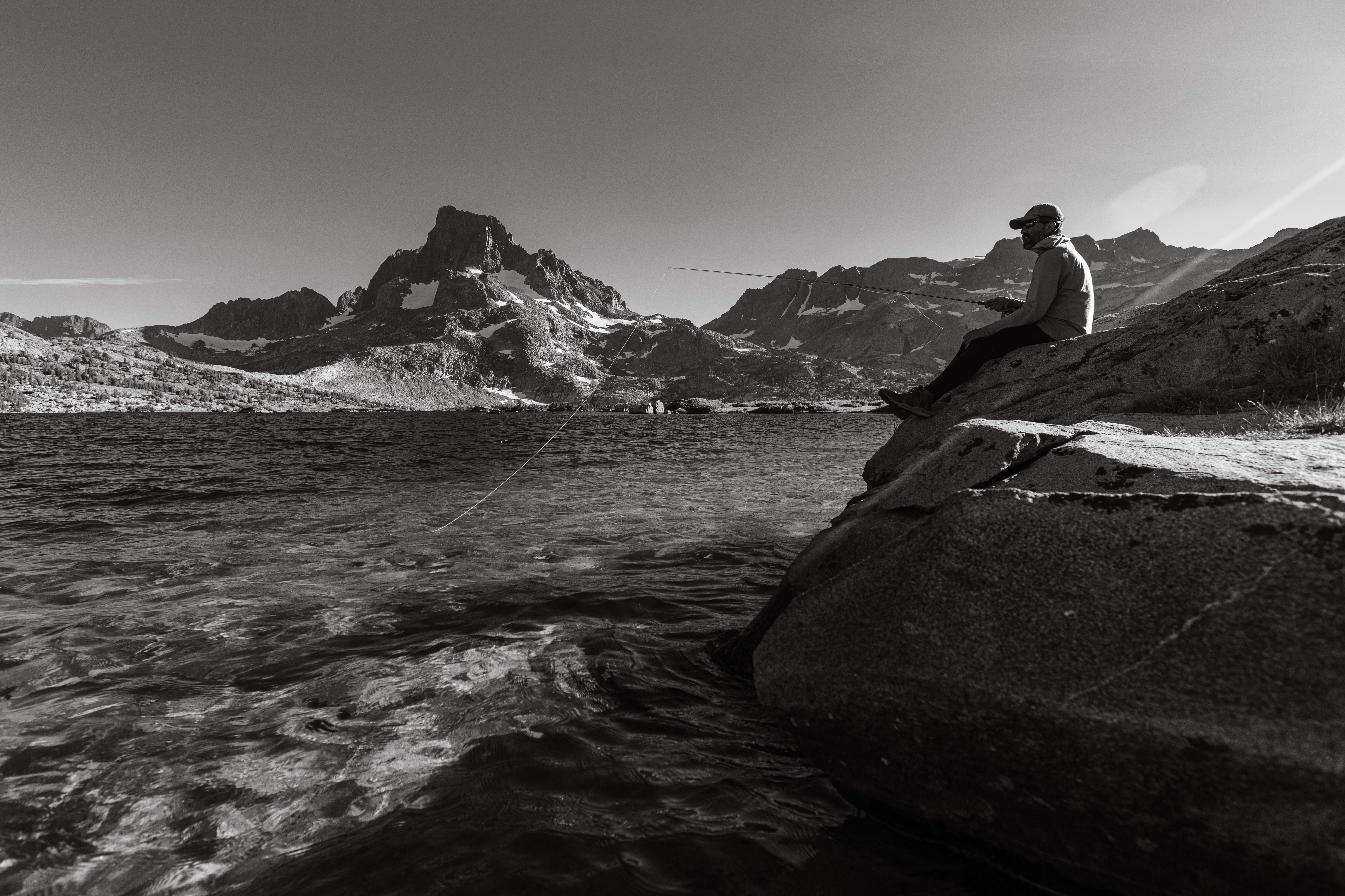
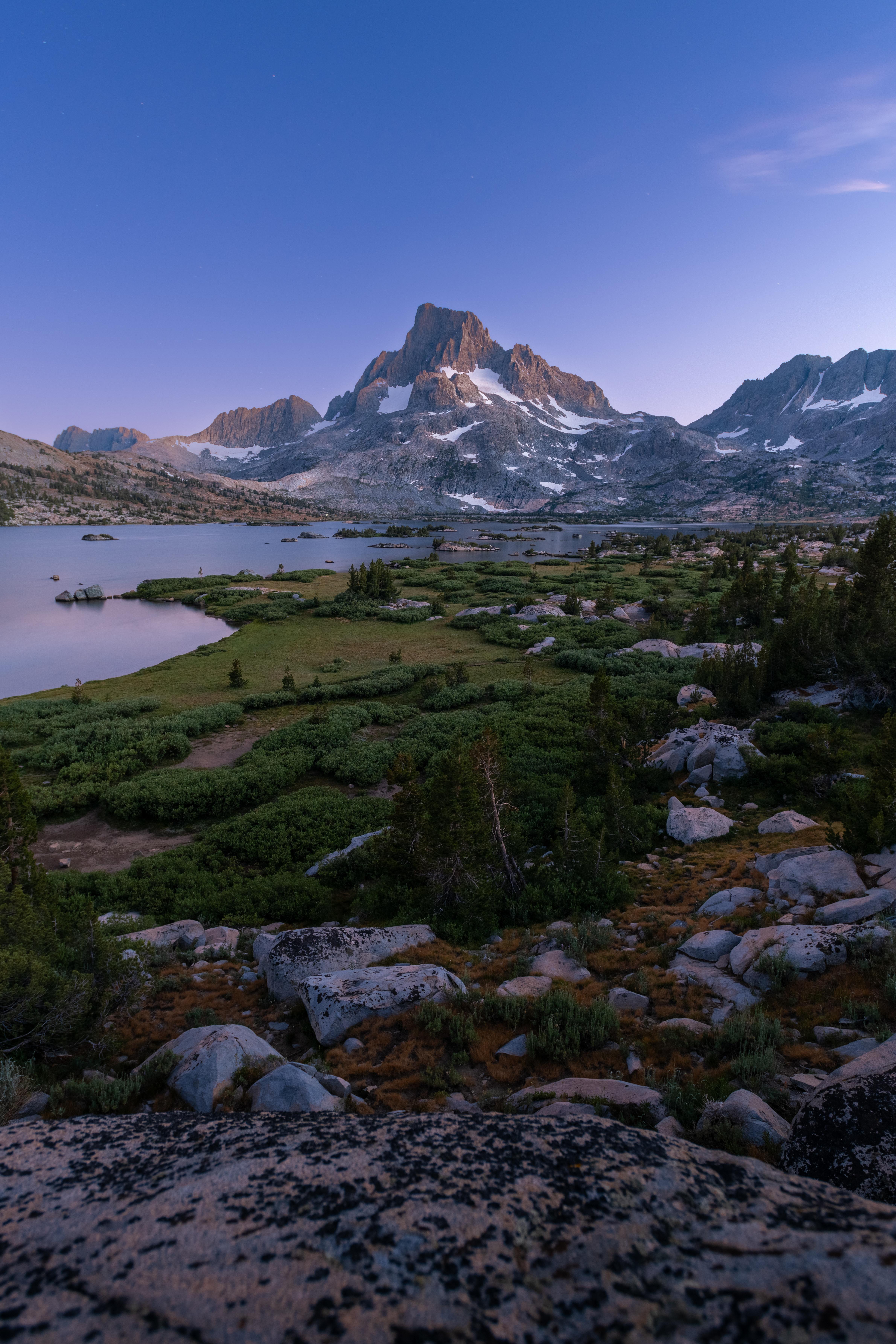
Day seventeen ran the lake chain — Shadow, Garnet, and finally over the rise to Thousand Island Lake, which is the most photographed water on the trail and deserves every pixel of it. Banner Peak does something at dusk here that I'd seen in a hundred pictures and still wasn't ready for.
Donohue Pass the next day was the last big climb and a quiet goodbye — Ronda hiked her own pace, and somewhere around the pass the trail stretched the gap past mending. There's no ceremony to it out here. People enter your days without introduction and leave without conclusion, and three weeks in you learn to let both happen.
Days 19–21: Coming down — Lyell Canyon, Clouds Rest, and the Valley
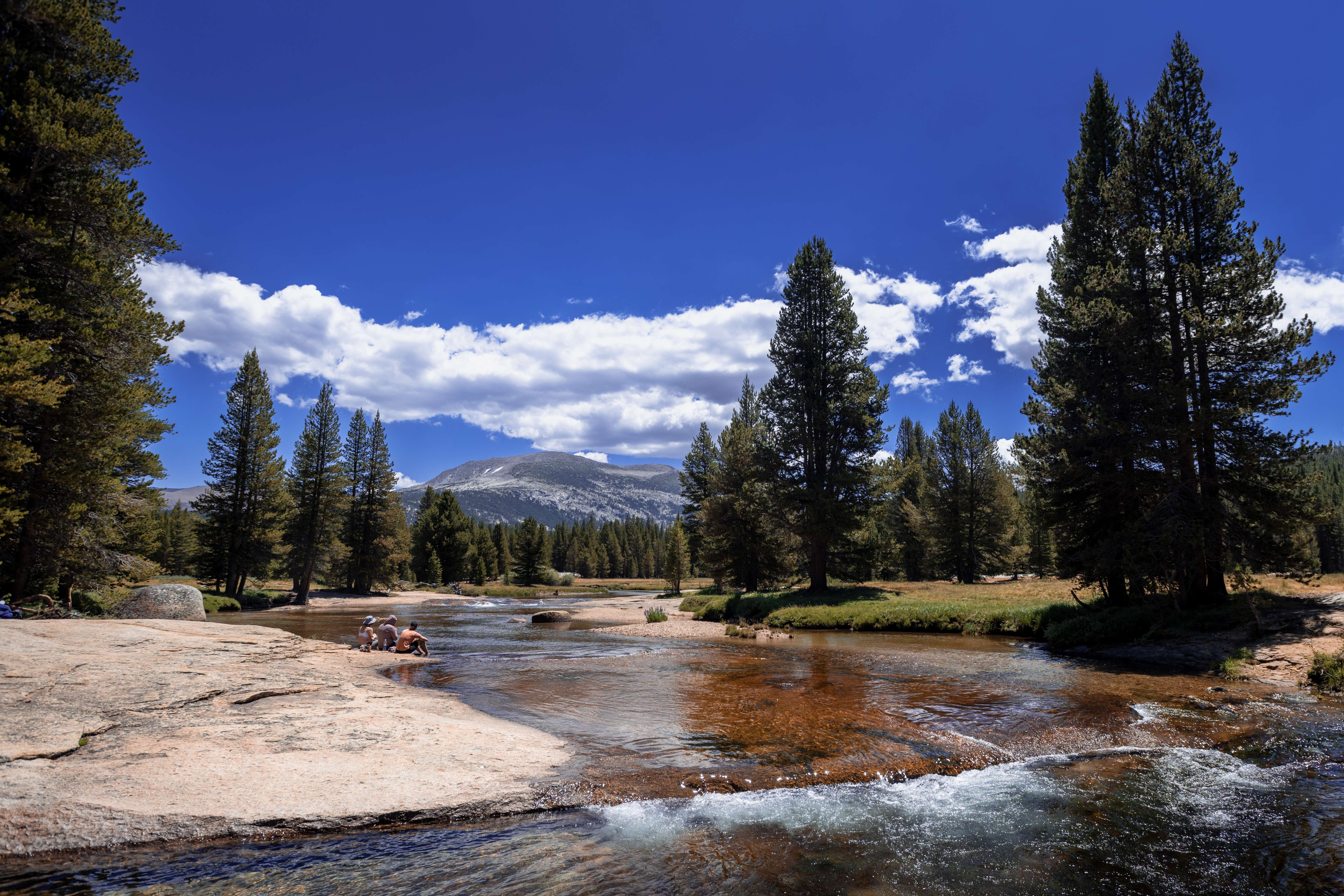
Lyell Canyon is ten miles of the gentlest walking on the route, the river winding through meadow like it's been asked to demonstrate the concept of a river.
The Tuolumne Meadows store held one last rendezvous: the PCT crew from Tyndall Creek, seventeen days and two hundred miles since that first shared camp. This goodbye was the real one — their line of dirt kept running north, and mine bent west toward the Valley.
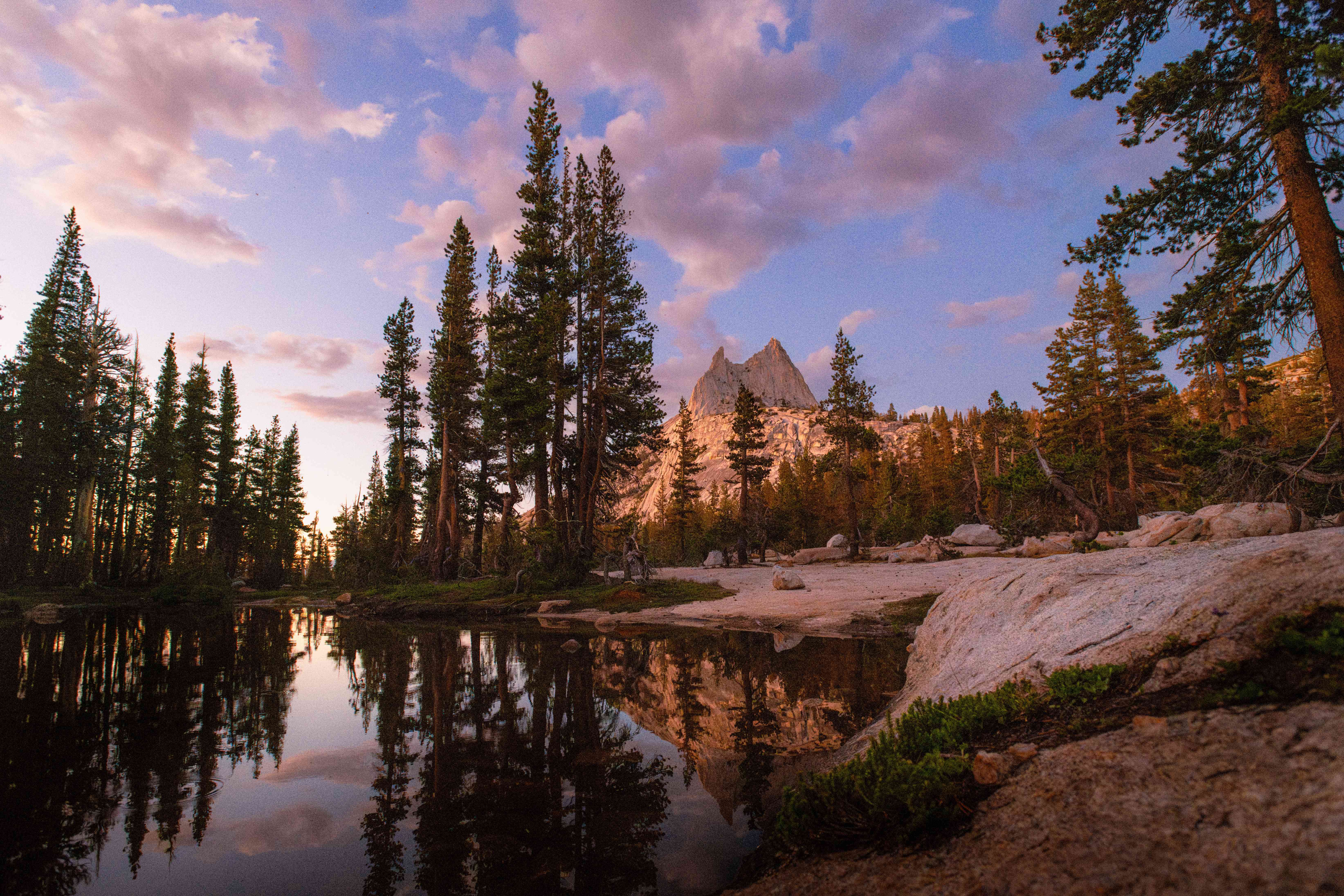
From Tuolumne, the sensible line to Happy Isles goes over Cathedral Pass and down. We took it as far as the lupine —
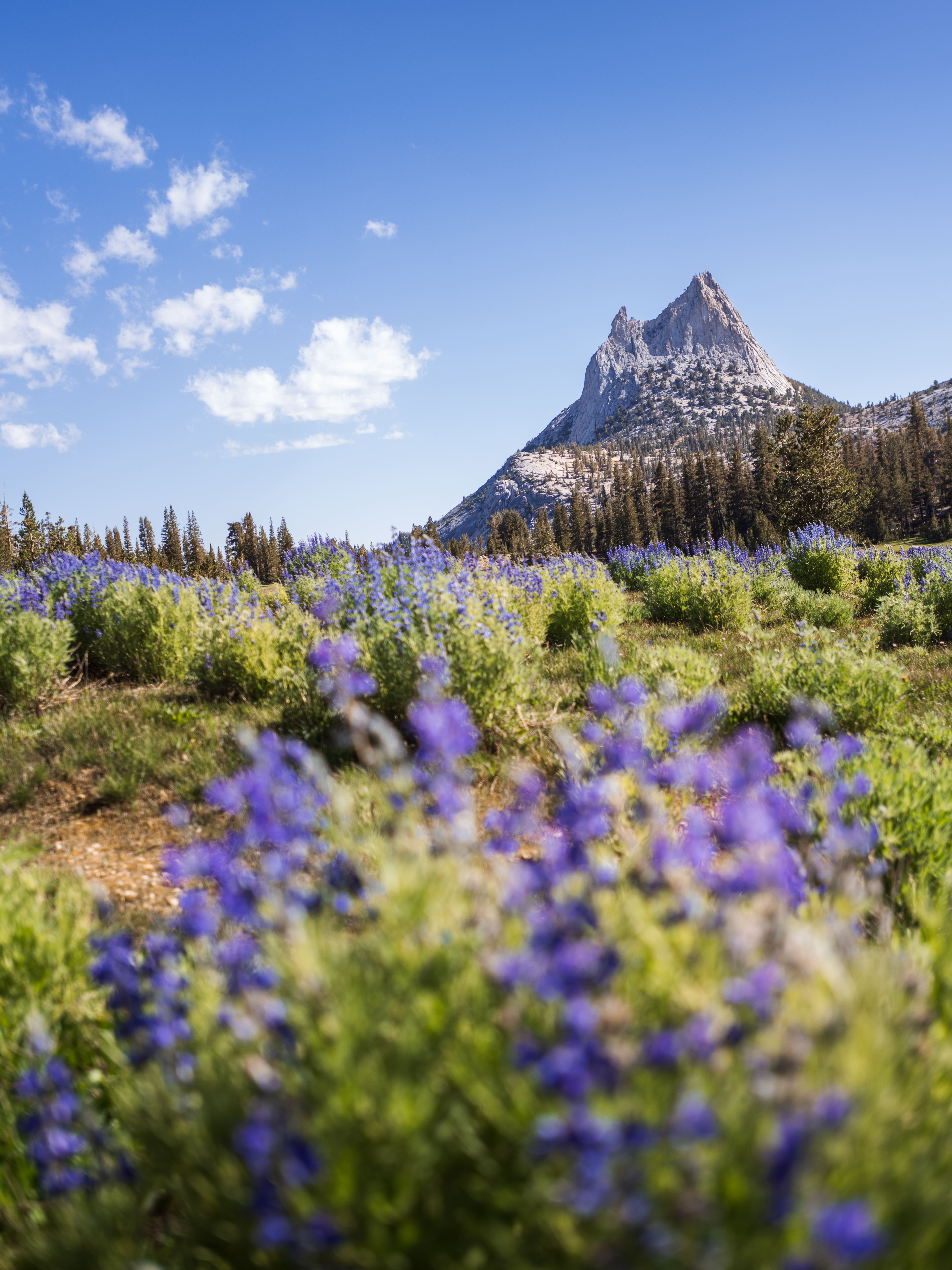
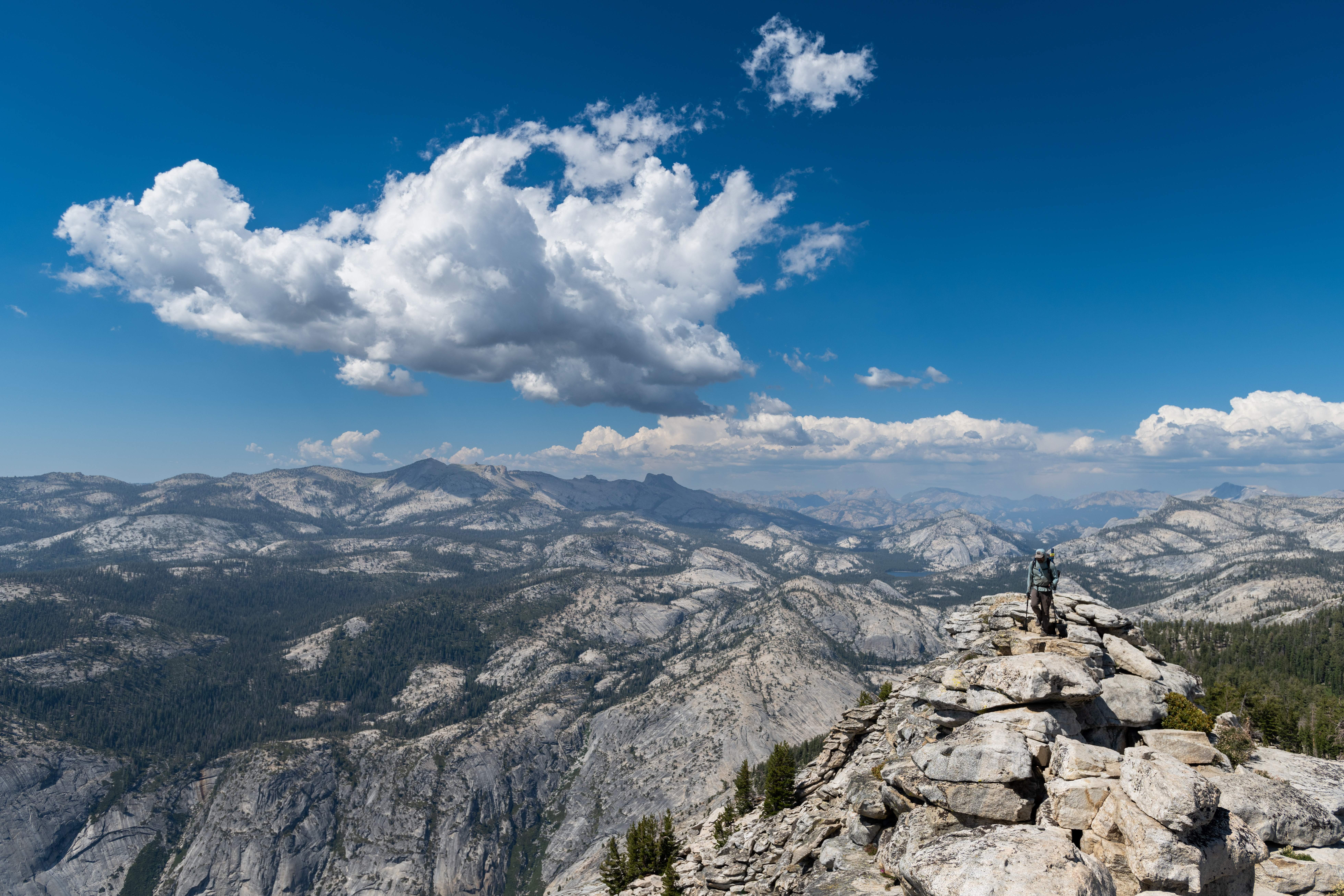
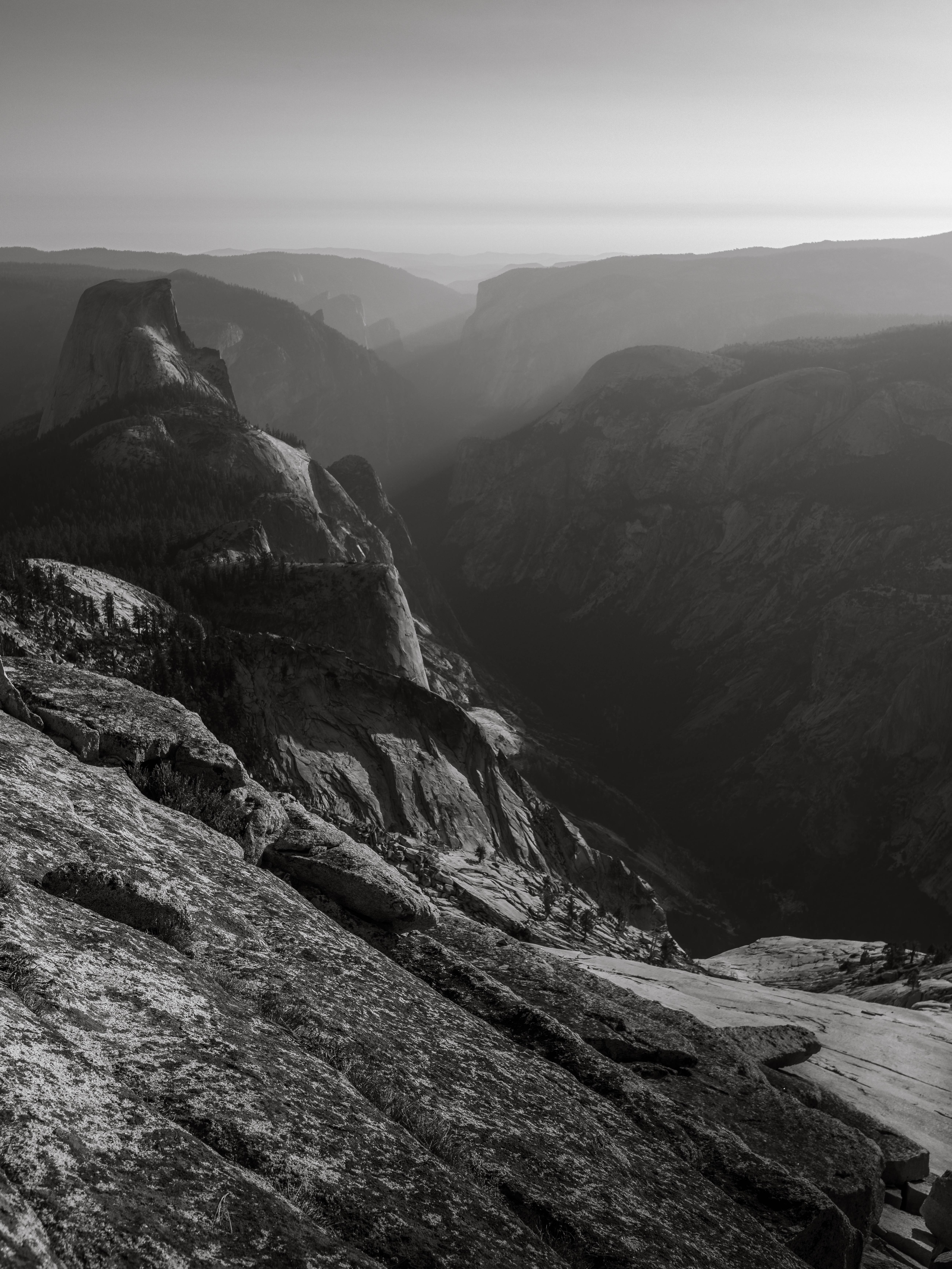
— and then made the trip's last dumb-good decision: leaving the JMT to go over the top of Clouds Rest, adding miles to what was already our longest day, because finishing a 238-mile walk without the best view in Yosemite felt like a technicality. From the summit, Half Dome is below you, the Valley is a trench full of light, and the whole High Sierra you just crossed stands in rows to the horizon.
The last morning was four and a half downhill miles past Nevada and Vernal Falls into the parade of day-hikers at Happy Isles — mile 238 ends, deliberately and absurdly, at a trailhead sign in a crowd of people holding water bottles the size of my bear canister. Robert and I finished together, which by then was the only way that made sense.
In high summer the Merced through the Valley fills with floaters — inflatable rafts, pool toys, coolers, entire families drifting past El Capitan. Robert and I looked at the river, then at ourselves — three weeks of trail on us, and smelling like every day of it — and waded in with everyone else. People stared the way you'd stare if two yetis came down to the water. Fair. It was the first bath in three weeks, the real shower still a day or two away, and a river full of pool floats was exactly the right place for it.
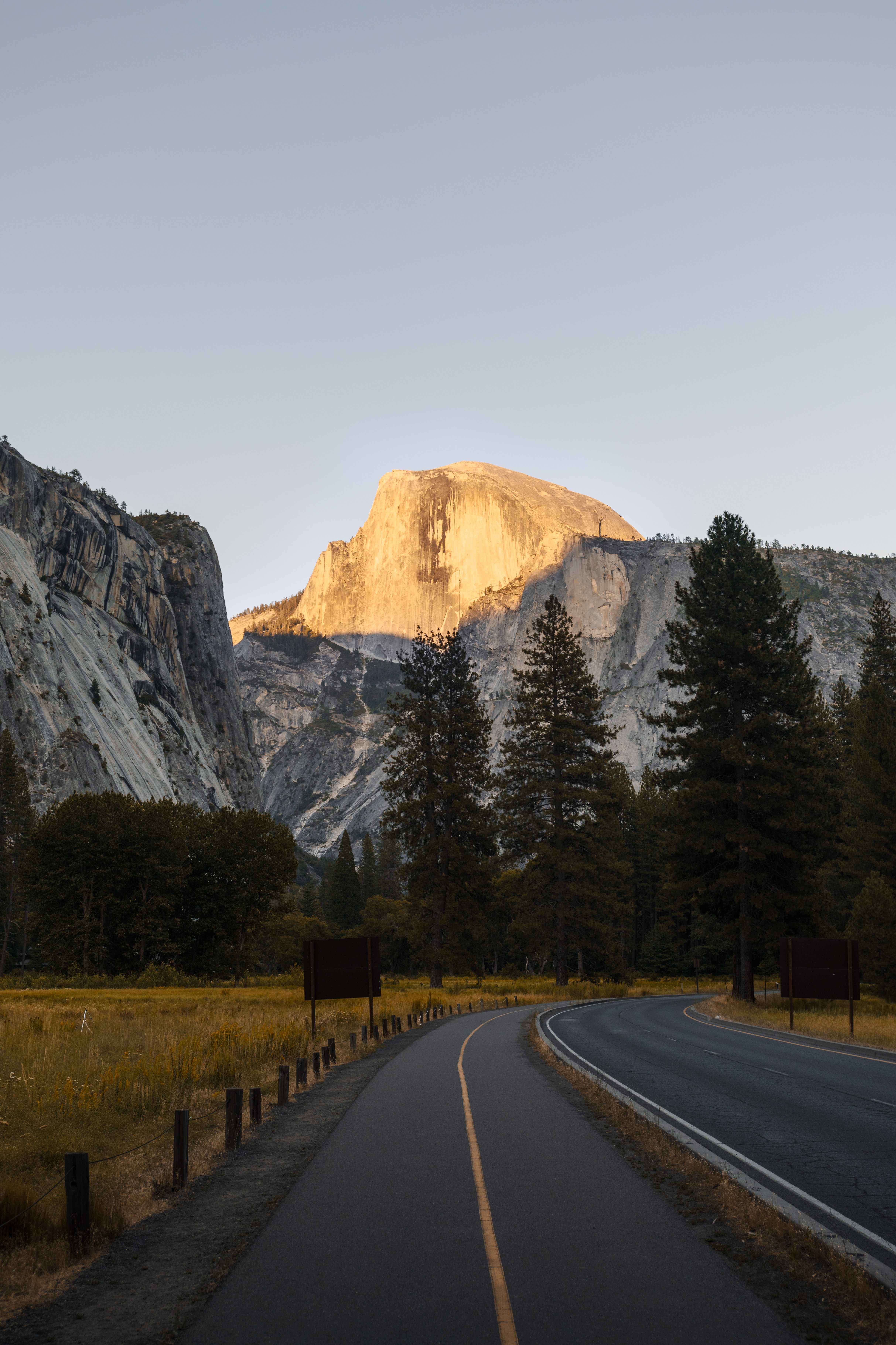
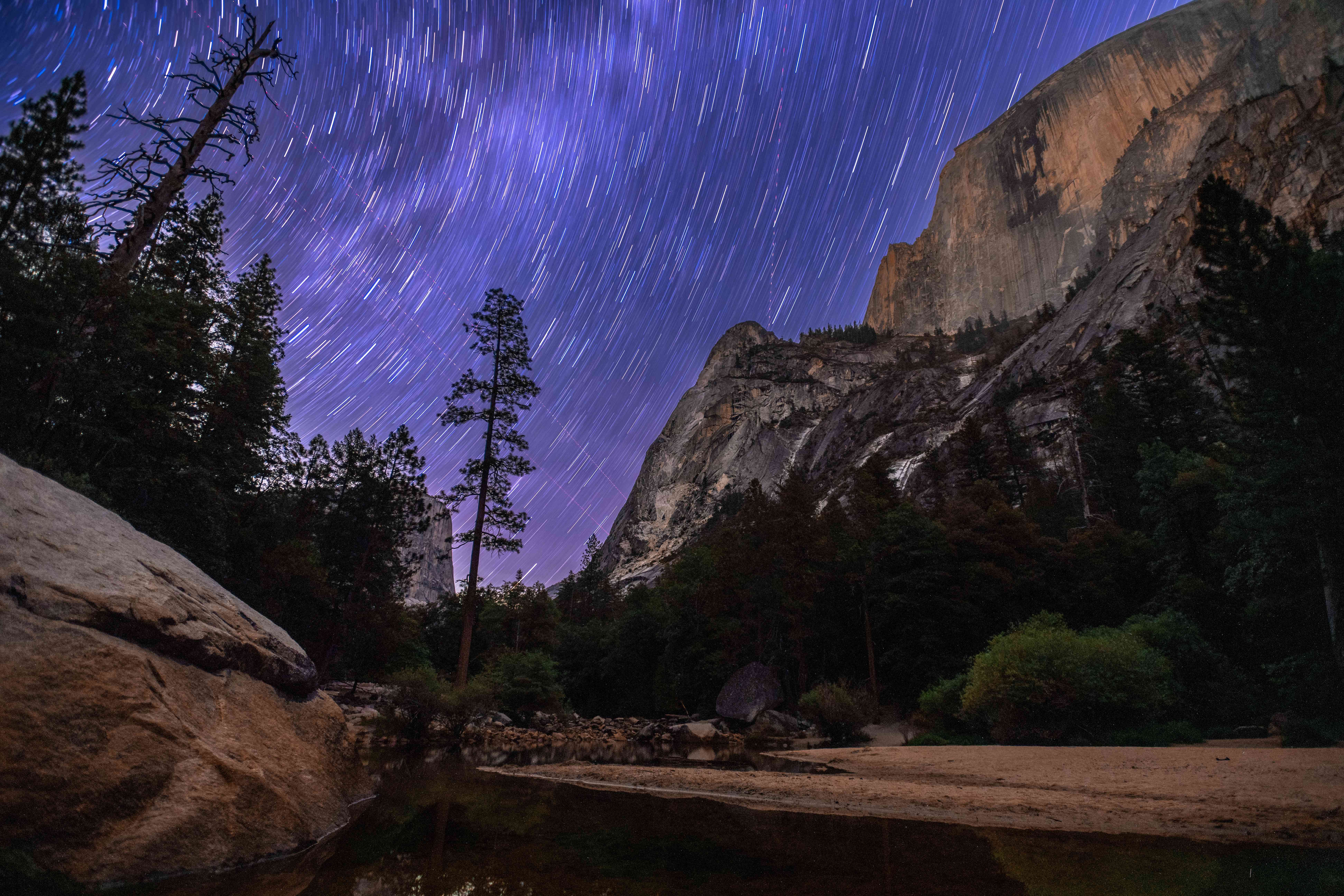
And here's the thing about finishing a photography trip: you don't. That evening I was back out with the camera, because Half Dome was doing this:
Five photo spots worth planning a day around
People ask where along the John Muir Trail the photographs actually happen. Honestly: everywhere, at the wrong time of day. But if I walked it again, these are the five places I'd shape an itinerary around, because they pay best exactly when a thru-hiker can be there — at the ends of the day, from camp:
- The Whitney zone — summit before sunrise. I caught my dawn on the switchbacks and it was the best fifteen minutes of the week; done again, I'd push to be standing on top for it. You get sunrise from 14,505 feet, and then the bonus nobody mentions: early light at Guitar Lake and everything else on the west side while you descend through it.
- Kearsarge Lakes and Kearsarge Pass — sunrise, or night. Camp at the lakes and the Pinnacles double themselves in still water before 5am; the pass above works the same hours for the east side.
- The Rae Lakes basin — Fin Dome, the Painted Lady, and water in every direction. The evening light at the ford is where this trip changed for me.
- Thousand Island Lake at sunset — Banner Peak over the islands is the trail's most famous picture for a reason; stay past sunset and it keeps getting better.
- Yosemite Valley, after the finish. The trail ends at Happy Isles but the photography doesn't — stay at the backpackers' campground and buy yourself the extra days for Nevada Fall, Yosemite Falls, and Half Dome going gold from the Valley floor.
The pattern in that list: none of them are viewpoints you walk past at noon. They're camps — or the dawn you launch from one. On a thru-hike, choosing where to sleep is the only scheduling tool a photographer has, so spend it deliberately.
What 22 days with one lens taught me
The cruel joke of the trip was the weather: three weeks of flawless, cloudless, postcard-blue sky. Non-photographers cannot be told why this is a complaint. But landscape photography is mostly weather plus geology, and for 21 days the Sierra supplied only one of them — no storm light, no drama, the same faultless blue lid on every composition. The one storm that did come, over Forester, I mostly experienced as anxiety and a frozen tent. The photographer's prayer is embarrassing but true: bad weather, safely survived.
The only genuine equipment failure of the trip had fur. One night a mouse spent the dark hours methodically eating my kit: the shoes, the grips of the trekking poles, and — most creatively — the backpack itself. It chewed a hole clean through a water-bottle pocket, ruined a couple of the weight loaders, and got halfway through one of the lower load-adjustment straps before I caught it in the act. I photographed it by headlamp, mid-crime, entirely unrepentant, and spent the next morning doing field surgery on the strap — nervously, because a pack that can't transfer weight to your hips a hundred miles from a road stops being a gear problem and starts being a you problem. The repair held.
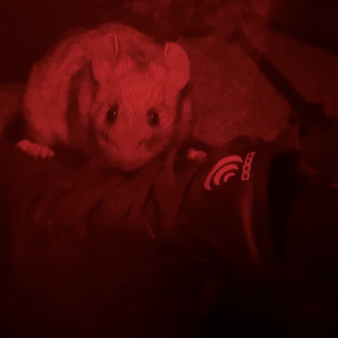
The lesson, learned permanently: rodents come for the salt and smell your gear soaks up over weeks of sweat, and a vestibule is not protection — it's a dining room. If the critters around camp are active, the pack sleeps inside the tent. Mine has ever since.
The trip's other casualty was quieter: my lens cap, lost somewhere on the summit of Whitney. Day two of twenty-two. For the remaining 220 miles the only thing between the front element and the Sierra was whichever filter happened to be mounted — usually the UV, occasionally the polarizer earning double duty. The glass survived. But every lens cap I own now travels on a tether, because apparently that's a lesson I needed the tallest mountain in the lower 48 to teach me.
The one-lens experiment, verdict: it worked, and I wouldn't repeat it. It worked because 17–35mm covers the honest core of what a thru-hike sees — the trail, the camp, the basin you're standing in — and because a 1,800-gram kit is the reason my knees finished the trail. I wouldn't repeat it because I now know exactly which photographs aren't in my gallery: the compressed telephoto ridgelines, the wildlife, the long silky-water exposures a 3-stop ND couldn't buy me at noon. The tripod that fit in a side pocket made the Milky Way frame possible and a hundred eye-level compositions impossible. Every gram you cut is a photograph you've pre-emptively deleted; ultralight photography is just deciding which ones, in advance, honestly.
If you want the full gear autopsy — what earned its weight, what I carry now instead, and how three weeks between power outlets actually works — that's its own post.
The John Muir Trail photographs in this post live in the JMT gallery, each with its own story. And the trail this one talked me into is here too: the High Sierra Trail — one year later, three times the camera, same mountains, opposite experiment.